La Ceiba night lights from space
Night Light of La Ceiba (Atlántida) from space (Honduras) Src. Average luminocity for 10x10km area is 49.5801% and for 50x50km: 3.9072%.
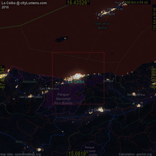
Analysis of La Ceiba night lights 2016
Square area 10x10 km:
 13.85%
90-99
12.12%80-89
6.71%70-79
4.76%60-69
3.68%50-59
1.52%40-49
2.16%30-39
8.44%20-29
15.58%10-19
26.41%0-9
4.76%Square area 50x50 km:
0.61%90-99
0.59%80-89
0.48%70-79
0.47%60-69
0.41%50-59
0.43%40-49
0.2%30-39
0.69%20-29
1.1%10-19
3.71%0-9
91.31%Clear (daylight) street map image can be seen on geolist.org.
Map coordinates:
16° 26' 6.9" North, 87° 29' 7.2" West
15° 45' 35" North, 86° 46' 56" West
15° 4' 54.8" North, 86° 4' 44.7" West
Some cities around La Ceiba sort by population:
• Tocoa
84.1 km =52.3 mi,  95°
95°
• Tela
73.3 km =45.5 mi,  271°
271°
• Olanchito
38.1 km =23.7 mi,  144°
144°
• Yoro
78.5 km =48.8 mi,  208°
208°
• Santa Rita
85 km =52.8 mi,  219°
219°
• Sabá
65.6 km =40.8 mi,  119°
119°
• Coxen Hole
67.3 km =41.8 mi,  22°
22°
• San Juan Pueblo
52.1 km =32.4 mi,  247°
247°
3608248 (p: 130,218)
Sources (retrieved 2019-11-25):
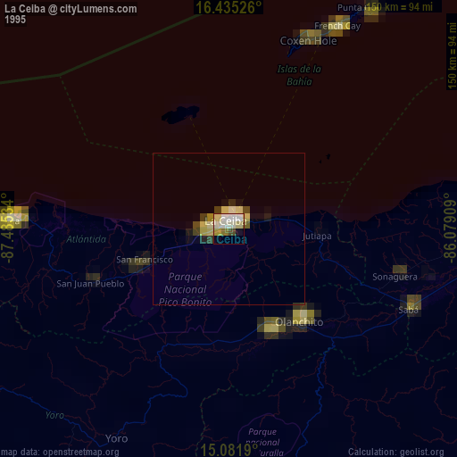
» NASA, Earths city lights 1995
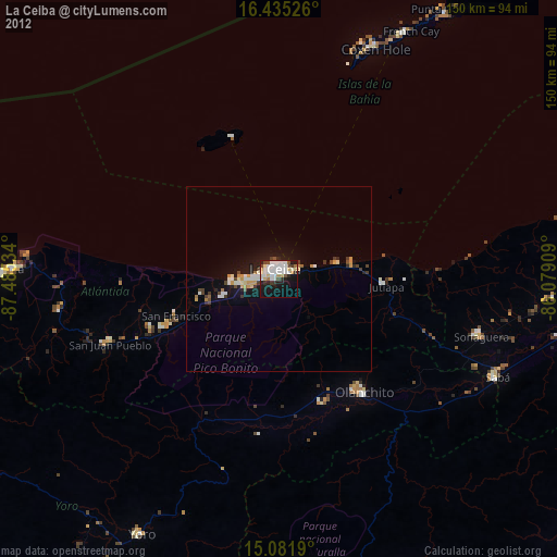
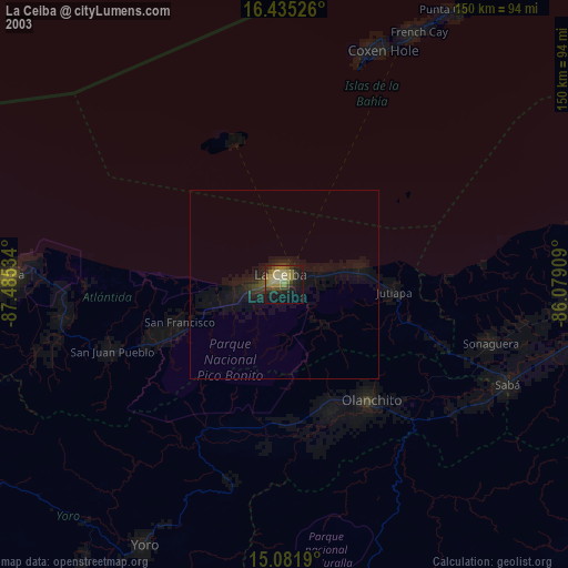
» NASA city lights 2003
» Earth at Night: Flat Maps 2012, 2016