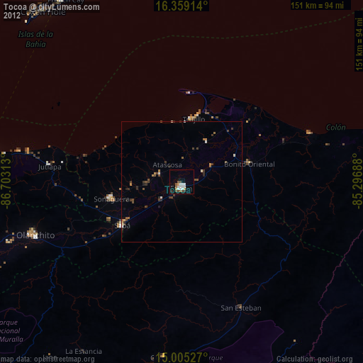
Tocoa night lights from space
Night Light of Tocoa (Colón) from space (Honduras) Src. Average luminocity for 10x10km area is 17.539% and for 50x50km: 1.6323%.
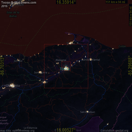
Analysis of Tocoa night lights 2016
Square area 10x10 km:
 2.16%
2.16%90-99
3.03%80-89
0.87%70-79
3.46%60-69
3.9%50-59
3.03%40-49
0.87%30-39
1.95%20-29
1.52%10-19
2.81%0-9
76.41%Square area 50x50 km:
0.08%90-99
0.17%80-89
0.18%70-79
0.27%60-69
0.23%50-59
0.21%40-49
0.3%30-39
0.47%20-29
0.28%10-19
0.23%0-9
97.58%Clear (daylight) street map image can be seen on geolist.org.
Map coordinates:
16° 21' 32.9" North, 86° 42' 11.3" West
15° 40' 60" North, 86° 0' 0" West
15° 0' 19" North, 85° 17' 48.8" West
Some cities around Tocoa sort by population:
• La Ceiba
84.1 km =52.3 mi,  275°
275°
• Juticalpa
115.5 km =71.8 mi,  191°
191°
• Olanchito
65.5 km =40.7 mi,  249°
249°
• Sabá
36 km =22.4 mi,  228°
228°
• Trujillo
26.4 km =16.4 mi,  10°
10°
• Coxen Hole
91 km =56.5 mi,  320°
320°
• San Juan Pueblo
132.5 km =82.3 mi,  265°
265°
• San Francisco de la Paz
89.7 km =55.7 mi, 193°
3600704 (p: 30,785)
Sources (retrieved 2019-11-25):
» Earth at Night: Flat Maps 2012, 2016