San José Pinula night lights from space
Night Light of San José Pinula (Guatemala) from space (Guatemala) Src. Average luminocity for 10x10km area is 45.4632% and for 50x50km: 25.6219%.
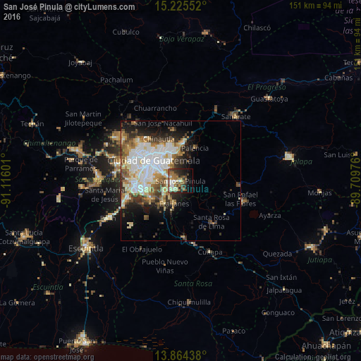
Analysis of San José Pinula night lights 2016
Square area 10x10 km:
 4.76%
4.76%90-99
9.74%80-89
4.76%70-79
3.03%60-69
16.23%50-59
4.55%40-49
9.96%30-39
6.06%20-29
11.47%10-19
14.94%0-9
14.5%Square area 50x50 km:
6.08%90-99
6.16%80-89
3.19%70-79
2.49%60-69
3.83%50-59
2.68%40-49
3.02%30-39
3.3%20-29
3.93%10-19
7.13%0-9
58.18%Clear (daylight) street map image can be seen on geolist.org.
Map coordinates:
15° 13' 31.9" North, 91° 6' 57.6" West
14° 32' 45.6" North, 90° 24' 46.4" West
13° 51' 51.8" North, 89° 42' 35.1" West
Some cities around San José Pinula sort by population:
• Guatemala City
15.1 km =9.4 mi,  314°
314°
• Villa Nueva
18.7 km =11.6 mi,  262°
262°
• Petapa
16.8 km =10.4 mi,  253°
253°
• Villa Canales
14.8 km =9.2 mi,  241°
241°
• Santa Catarina Pinula
9.7 km =6 mi,  286°
286°
• Fraijanes
9.5 km =5.9 mi,  198°
198°
• Palencia
14.7 km =9.1 mi,  23°
23°
• Santa Cruz Naranjo
18.2 km =11.3 mi,  165°
165°
3589977 (p: 47,247)
Sources (retrieved 2019-11-25):
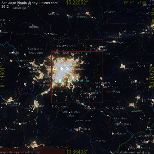
» Earth at Night: Flat Maps 2012, 2016