Petapa night lights from space
Night Light of Petapa (Guatemala) from space (Guatemala) Src. Average luminocity for 10x10km area is 74.2424% and for 50x50km: 31.6121%.
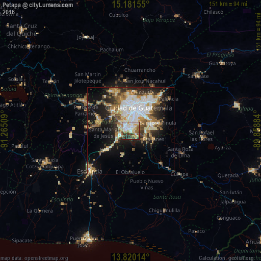
Analysis of Petapa night lights 2016
Square area 10x10 km:
 18.61%
90-99
21.86%80-89
13.2%70-79
7.58%60-69
7.58%50-59
9.96%40-49
6.06%30-39
9.31%20-29
5.84%10-19
0%0-9
0%Square area 50x50 km:
6.28%90-99
6.78%80-89
4.04%70-79
3.56%60-69
5.16%50-59
3.75%40-49
3.51%30-39
4.06%20-29
6.02%10-19
14.09%0-9
42.74%Clear (daylight) street map image can be seen on geolist.org.
Map coordinates:
15° 10' 53.6" North, 91° 15' 54.3" West
14° 30' 6.8" North, 90° 33' 43.1" West
13° 49' 12.5" North, 89° 51' 31.8" West
Some cities around Petapa sort by population:
• Villa Nueva
3.6 km =2.2 mi,  315°
315°
• Villa Canales
3.7 km =2.3 mi,  125°
125°
• Amatitlán
8.3 km =5.2 mi,  250°
250°
• Santa Catarina Pinula
10.2 km =6.3 mi,  41°
41°
• Fraijanes
13.7 km =8.5 mi,  107°
107°
• Santa Lucía Milpas Altas
14.8 km =9.2 mi,  303°
303°
• San Vicente Pacaya
12.6 km =7.8 mi,  219°
219°
• Magdalena Milpas Altas
13.2 km =8.2 mi,  292°
292°
3591415 (p: 141,455)
Sources (retrieved 2019-11-25):
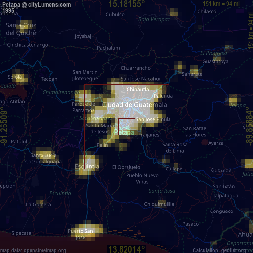
» NASA, Earths city lights 1995
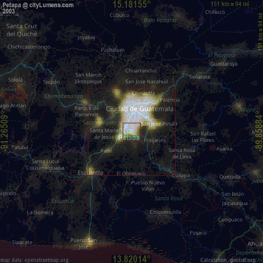
» NASA city lights 2003
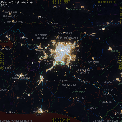
» Earth at Night: Flat Maps 2012, 2016