San Francisco El Alto night lights from space
Night Light of San Francisco El Alto (Totonicapán) from space (Guatemala) Src. Average luminocity for 10x10km area is 18.2438% and for 50x50km: 8.4999%.
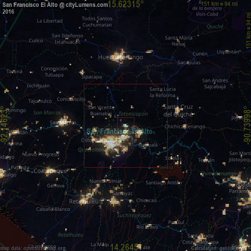
Analysis of San Francisco El Alto night lights 2016
Square area 10x10 km:
 0%
0%90-99
0.21%80-89
4.75%70-79
0.83%60-69
2.48%50-59
2.48%40-49
1.45%30-39
7.44%20-29
8.26%10-19
23.97%0-9
48.14%Square area 50x50 km:
0.37%90-99
1.18%80-89
1.41%70-79
0.88%60-69
1.37%50-59
0.93%40-49
1.59%30-39
2.31%20-29
3.04%10-19
5.91%0-9
81.01%Clear (daylight) street map image can be seen on geolist.org.
Map coordinates:
15° 37' 23.3" North, 92° 8' 46.4" West
14° 56' 41.6" North, 91° 26' 35.2" West
14° 15' 52.2" North, 90° 44' 23.9" West
Some cities around San Francisco El Alto sort by population:
• Quetzaltenango
14.7 km =9.1 mi,  213°
213°
• Totonicapán
9.6 km =6 mi,  112°
112°
• Momostenango
11.7 km =7.3 mi,  18°
18°
• Cantel
14.9 km =9.3 mi,  185°
185°
• La Esperanza
15.1 km =9.4 mi,  237°
237°
• San Andrés Xecul
6.2 km =3.9 mi,  223°
223°
• Salcajá
7.4 km =4.6 mi, 191°
• San Carlos Sija
12.2 km =7.6 mi,  291°
291°
3590219 (p: 54,493)
Sources (retrieved 2019-11-25):
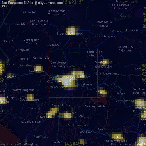
» NASA, Earths city lights 1995
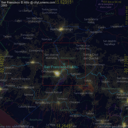
» NASA city lights 2003
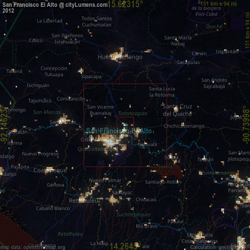
» Earth at Night: Flat Maps 2012, 2016