Cantel night lights from space
Night Light of Cantel (Quetzaltenango) from space (Guatemala) Src. Average luminocity for 10x10km area is 30.8533% and for 50x50km: 9.3838%.
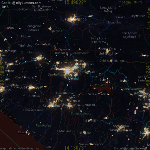
Analysis of Cantel night lights 2016
Square area 10x10 km:
 0%
0%90-99
2.48%80-89
4.13%70-79
5.79%60-69
8.68%50-59
4.13%40-49
7.44%30-39
6.2%20-29
13.84%10-19
19.83%0-9
27.48%Square area 50x50 km:
0.37%90-99
1.22%80-89
1.47%70-79
1.07%60-69
1.45%50-59
1.16%40-49
1.76%30-39
2.34%20-29
3.19%10-19
6.67%0-9
79.31%Clear (daylight) street map image can be seen on geolist.org.
Map coordinates:
15° 29' 24.8" North, 92° 9' 30.6" West
14° 48' 41.5" North, 91° 27' 19.3" West
14° 7' 50.6" North, 90° 45' 8.1" West
Some cities around Cantel sort by population:
• Quetzaltenango
7.2 km =4.5 mi,  290°
290°
• San Francisco El Alto
14.9 km =9.3 mi,  5°
5°
• La Esperanza
13.2 km =8.2 mi,  300°
300°
• Santa Catarina Ixtahuacán
10.5 km =6.5 mi,  98°
98°
• San Andrés Xecul
10.8 km =6.7 mi,  343°
343°
• Salcajá
7.6 km =4.7 mi,  358°
358°
• Almolonga
4.3 km =2.7 mi,  276°
276°
• Zunil
4.3 km =2.7 mi,  225°
225°
3599069 (p: 26,063)
Sources (retrieved 2019-11-25):
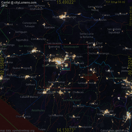
» Earth at Night: Flat Maps 2012, 2016