Salcajá night lights from space
Night Light of Salcajá (Quetzaltenango) from space (Guatemala) Src. Average luminocity for 10x10km area is 47.2397% and for 50x50km: 8.6077%.
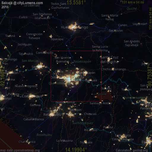
Analysis of Salcajá night lights 2016
Square area 10x10 km:
 1.03%
1.03%90-99
8.68%80-89
9.92%70-79
6.2%60-69
10.12%50-59
5.17%40-49
7.64%30-39
10.74%20-29
23.55%10-19
16.74%0-9
0.21%Square area 50x50 km:
0.37%90-99
1.18%80-89
1.41%70-79
0.94%60-69
1.37%50-59
0.92%40-49
1.62%30-39
2.32%20-29
2.99%10-19
6.01%0-9
80.86%Clear (daylight) street map image can be seen on geolist.org.
Map coordinates:
15° 33' 29.2" North, 92° 9' 36.4" West
14° 52' 46.7" North, 91° 27' 25.2" West
14° 11' 56.5" North, 90° 45' 13.9" West
Some cities around Salcajá sort by population:
• Quetzaltenango
8.2 km =5.1 mi,  232°
232°
• Totonicapán
10.9 km =6.8 mi,  70°
70°
• San Francisco El Alto
7.4 km =4.6 mi,  11°
11°
• Cantel
7.6 km =4.7 mi,  178°
178°
• La Esperanza
11.3 km =7 mi,  265°
265°
• San Andrés Xecul
4 km =2.5 mi,  314°
314°
• Almolonga
8.2 km =5.1 mi,  209°
209°
• Zunil
10.9 km =6.8 mi,  195°
195°
3590605 (p: 11,966)
Sources (retrieved 2019-11-25):
» Earth at Night: Flat Maps 2012, 2016