San Antonio de Palé night lights from space
Night Light of San Antonio de Palé (Annobon) from space (Equatorial Guinea) Src. Average luminocity for 10x10km area is 0.5043% and for 50x50km: 0.0202%.
Analysis of San Antonio de Palé night lights 2016
Square area 10x10 km:
 0%
0%90-99
0%80-89
0%70-79
0%60-69
0%50-59
0%40-49
0%30-39
0.87%20-29
0%10-19
0.87%0-9
98.27%Square area 50x50 km:
0%90-99
0%80-89
0%70-79
0%60-69
0%50-59
0%40-49
0%30-39
0.03%20-29
0%10-19
0.03%0-9
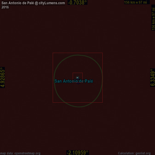
99.93%Clear (daylight) street map image can be seen on geolist.org.
Map coordinates:
0° 42' 13.7" South, 4° 55' 43.1" East
1° 24' 24.5" South, 5° 37' 54.4" East
2° 6' 34.5" South, 6° 20' 5.6" East
Some cities around San Antonio de Palé sort by population:
• Libreville, GA
469.6 km =291.8 mi,  64°
64°
• Port-Gentil, GA
358.4 km =222.7 mi,  77°
77°
• São Tomé, ST
228.9 km =142.2 mi,  32°
32°
• Lambaréné, GA
518.3 km =322.1 mi, 81°
• Gamba, GA
504.7 km =313.6 mi,  105°
105°
• Ntoum, GA
500.7 km =311.1 mi,  66°
66°
• Fougamou, GA
550.9 km =342.3 mi,  87°
87°
• Santo António, ST
392.7 km =244 mi, 30°
2306774 (p: 4,433)
Sources (retrieved 2019-11-25):
» Earth at Night: Flat Maps 2012, 2016