Lambaréné night lights from space
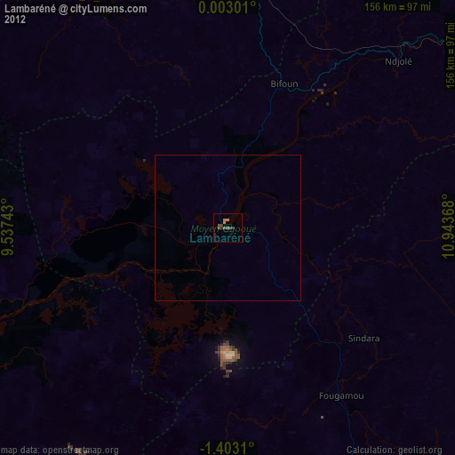
Night Light of Lambaréné (Moyen-Ogooué) from space (Gabon) Src. Average luminocity for 10x10km area is 4.6234% and for 50x50km: 0.2229%.

Analysis of Lambaréné night lights 2016
Square area 10x10 km:
 0%
0%90-99
0.87%80-89
0%70-79
0%60-69
3.46%50-59
0%40-49
0.87%30-39
0.87%20-29
0%10-19
1.73%0-9
92.21%Square area 50x50 km:
0%90-99
0.03%80-89
0%70-79
0%60-69
0.17%50-59
0%40-49
0.03%30-39
0.07%20-29
0%10-19
0.07%0-9
99.62%Clear (daylight) street map image can be seen on geolist.org.
Map coordinates:
0° 0' 10.8" North, 9° 32' 14.7" East
0° 42' 0.4" South, 10° 14' 26" East
1° 24' 11.2" South, 10° 56' 37.2" East
Some cities around Lambaréné sort by population:
• Libreville
149.7 km =93 mi,  324°
324°
• Port-Gentil
162.2 km =100.8 mi,  269°
269°
• Mouila
158.4 km =98.4 mi,  145°
145°
• Gamba
218.5 km =135.8 mi,  187°
187°
• Ntoum
132.5 km =82.3 mi,  336°
336°
• Booué
200.5 km =124.6 mi,  70°
70°
• Fougamou
68.8 km =42.8 mi, 146°
• Ndjolé
82.3 km =51.1 mi,  45°
45°
2399888 (p: 20,714)
Sources (retrieved 2019-11-25):
» Earth at Night: Flat Maps 2012, 2016