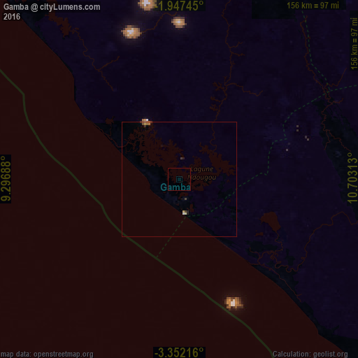
Gamba night lights from space
Night Light of Gamba (Ogooué-Maritime) from space (Gabon) Src. Average luminocity for 10x10km area is 0.1126% and for 50x50km: 0.3826%.
Analysis of Gamba night lights 2016
Square area 10x10 km:
 0%
0%90-99
0%80-89
0%70-79
0%60-69
0%50-59
0%40-49
0%30-39
0%20-29
0%10-19
0.87%0-9
99.13%Square area 50x50 km:
0.03%90-99
0.03%80-89
0.06%70-79
0.08%60-69
0.08%50-59
0%40-49
0.1%30-39
0.1%20-29
0.08%10-19
0.08%0-9
99.38%Clear (daylight) street map image can be seen on geolist.org.
Map coordinates:
1° 56' 50.8" South, 9° 17' 48.8" East
2° 39' 0" South, 10° 0' 0" East
3° 21' 7.8" South, 10° 42' 11.3" East
Some cities around Gamba sort by population:
• Port-Gentil
253.8 km =157.7 mi,  327°
327°
• Mouila
146 km =90.7 mi,  53°
53°
• Lambaréné
218.5 km =135.8 mi,  7°
7°
• Tchibanga
113.5 km =70.5 mi,  106°
106°
• Ndendé
153.4 km =95.3 mi,  79°
79°
• Fougamou
172.2 km =107 mi,  22°
22°
• Ndjolé
287.7 km =178.8 mi, 17°
• Loango, CG
300 km =186.4 mi,  137°
137°
2400547 (p: 9,928)
Sources (retrieved 2019-11-25):
» Earth at Night: Flat Maps 2012, 2016