Fougamou night lights from space
Night Light of Fougamou (Ngouni) from space (Gabon) Src. Average luminocity for 10x10km area is 0.4242% and for 50x50km: 0.1064%.
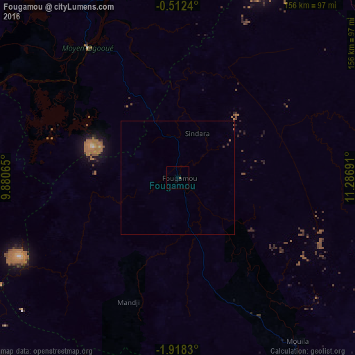
Analysis of Fougamou night lights 2016
Square area 10x10 km:
 0%
0%90-99
0%80-89
0%70-79
0%60-69
0%50-59
0%40-49
0.87%30-39
0%20-29
0%10-19
0%0-9
99.13%Square area 50x50 km:
0%90-99
0%80-89
0%70-79
0%60-69
0.03%50-59
0.02%40-49
0.09%30-39
0.04%20-29
0%10-19
0.02%0-9
99.8%Clear (daylight) street map image can be seen on geolist.org.
Map coordinates:
0° 30' 44.6" South, 9° 52' 50.3" East
1° 12' 55.6" South, 10° 35' 1.6" East
1° 55' 5.9" South, 11° 17' 12.9" East
Some cities around Fougamou sort by population:
• Mouila
89.6 km =55.7 mi,  144°
144°
• Lambaréné
68.8 km =42.8 mi,  326°
326°
• Tchibanga
196.1 km =121.9 mi,  166°
166°
• Gamba
172.2 km =107 mi,  202°
202°
• Ntoum
200.6 km =124.6 mi, 332°
• Ndendé
157.4 km =97.8 mi,  146°
146°
• Booué
195.7 km =121.6 mi,  50°
50°
• Ndjolé
117.1 km =72.8 mi,  9°
9°
2400578 (p: 5,649)
Sources (retrieved 2019-11-25):
» Earth at Night: Flat Maps 2012, 2016