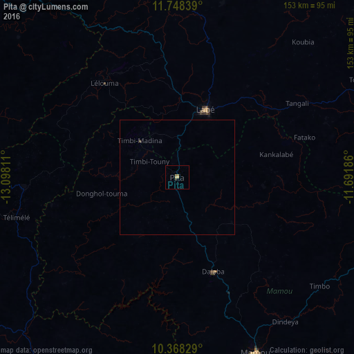
Pita night lights from space
Night Light of Pita (Mamou) from space (Guinea) Src. Average luminocity for 10x10km area is 3.0411% and for 50x50km: 0.1418%.

Analysis of Pita night lights 2016
Square area 10x10 km:
100  0%
0%
90-99 0%
80-89 0.87%
70-79 1.08%
60-69 0.65%
50-59 0.87%
40-49 0%
30-39 0.22%
20-29 0.65%
10-19 0%
0-9 95.67%
0%90-99
0%80-89
0.87%70-79
1.08%60-69
0.65%50-59
0.87%40-49
0%30-39
0.22%20-29
0.65%10-19
0%0-9
95.67%Square area 50x50 km:
100 0%
90-99 0%
80-89 0.03%
70-79 0.04%
60-69 0.03%
50-59 0.03%
40-49 0.03%
30-39 0.01%
20-29 0.03%
10-19 0%
0-9 99.8%
0%90-99
0%80-89
0.03%70-79
0.04%60-69
0.03%50-59
0.03%40-49
0.03%30-39
0.01%20-29
0.03%10-19
0%0-9
99.8%Clear (daylight) street map image can be seen on geolist.org.
Map coordinates:
11° 44' 54.2" North, 13° 5' 53.2" West
11° 3' 32.9" North, 12° 23' 41.9" West
10° 22' 5.8" North, 11° 41' 30.7" West
Some cities around Pita sort by population:
• Labé
31.3 km =19.4 mi,  22°
22°
• Mamou
82.9 km =51.5 mi,  156°
156°
• Télimélé
71.9 km =44.7 mi,  255°
255°
• Tougué
90.5 km =56.2 mi,  61°
61°
• Koubia
80.1 km =49.8 mi,  42°
42°
• Gaoual
116.6 km =72.5 mi,  311°
311°
• Dalaba
43.7 km =27.2 mi, 158°
• Mali
113.9 km =70.8 mi,  5°
5°
2416443 (p: 20,052)
Sources (retrieved 2019-11-25):
» Earth at Night: Flat Maps 2012, 2016