Dalaba night lights from space
Night Light of Dalaba (Mamou) from space (Guinea) Src. Average luminocity for 10x10km area is 2.0434% and for 50x50km: 0.0904%.
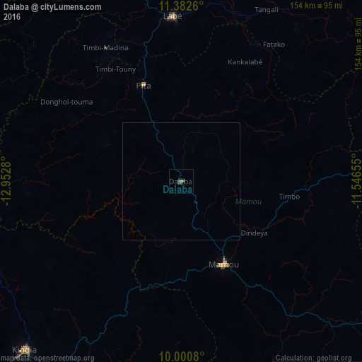
Analysis of Dalaba night lights 2016
Square area 10x10 km:
100  0%
0%
90-99 0%
80-89 0%
70-79 0%
60-69 1.65%
50-59 0%
40-49 0.83%
30-39 1.65%
20-29 0%
10-19 0%
0-9 95.87%
0%90-99
0%80-89
0%70-79
0%60-69
1.65%50-59
0%40-49
0.83%30-39
1.65%20-29
0%10-19
0%0-9
95.87%Square area 50x50 km:
100 0%
90-99 0%
80-89 0%
70-79 0%
60-69 0.07%
50-59 0%
40-49 0.03%
30-39 0.07%
20-29 0.03%
10-19 0.01%
0-9 99.8%
0%90-99
0%80-89
0%70-79
0%60-69
0.07%50-59
0%40-49
0.03%30-39
0.07%20-29
0.03%10-19
0.01%0-9
99.8%Clear (daylight) street map image can be seen on geolist.org.
Map coordinates:
11° 22' 57.4" North, 12° 57' 10.1" West
10° 41' 33" North, 12° 14' 58.8" West
10° 0' 2.9" North, 11° 32' 47.6" West
Some cities around Dalaba sort by population:
• Kindia
97.6 km =60.6 mi,  223°
223°
• Labé
69.7 km =43.3 mi,  356°
356°
• Mamou
39.3 km =24.4 mi,  153°
153°
• Télimélé
88.6 km =55.1 mi,  285°
285°
• Tougué
105.3 km =65.4 mi,  37°
37°
• Pita
43.7 km =27.2 mi,  338°
338°
• Dabola
124.9 km =77.6 mi,  87°
87°
• Koubia
106.7 km =66.3 mi,  21°
21°
2422383 (p: 7,036)
Sources (retrieved 2019-11-25):
» Earth at Night: Flat Maps 2012, 2016