Télimélé night lights from space
Night Light of Télimélé (Kindia) from space (Guinea) Src. Average luminocity for 10x10km area is 0% and for 50x50km: 0%.
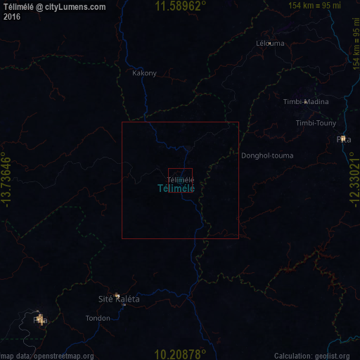
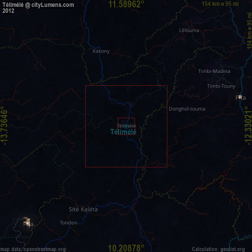
Analysis of Télimélé night lights 2016
Square area 10x10 km:
100  0%
0%
90-99 0%
80-89 0%
70-79 0%
60-69 0%
50-59 0%
40-49 0%
30-39 0%
20-29 0%
10-19 0%
0-9 100%
0%90-99
0%80-89
0%70-79
0%60-69
0%50-59
0%40-49
0%30-39
0%20-29
0%10-19
0%0-9
100%Square area 50x50 km:
100 0%
90-99 0%
80-89 0%
70-79 0%
60-69 0%
50-59 0%
40-49 0%
30-39 0%
20-29 0%
10-19 0%
0-9 100%
0%90-99
0%80-89
0%70-79
0%60-69
0%50-59
0%40-49
0%30-39
0%20-29
0%10-19
0%0-9
100%Clear (daylight) street map image can be seen on geolist.org.
Map coordinates:
11° 35' 22.6" North, 13° 44' 11.3" West
10° 54' 0" North, 13° 1' 60" West
10° 12' 31.6" North, 12° 19' 48.8" West
Some cities around Télimélé sort by population:
• Kindia
95.5 km =59.3 mi,  168°
168°
• Labé
94.1 km =58.5 mi,  60°
60°
• Fria
84.4 km =52.4 mi,  225°
225°
• Pita
71.9 km =44.7 mi,  75°
75°
• Tondon
68.7 km =42.7 mi,  210°
210°
• Kimbo
79.2 km =49.2 mi, 225°
• Gaoual
96.2 km =59.8 mi,  349°
349°
• Dalaba
88.6 km =55.1 mi,  105°
105°
2414926 (p: 30,311)
Sources (retrieved 2019-11-25):
» Earth at Night: Flat Maps 2012, 2016