Dabola night lights from space
Night Light of Dabola (Faranah) from space (Guinea) Src. Average luminocity for 10x10km area is 0.4959% and for 50x50km: 0.0202%.
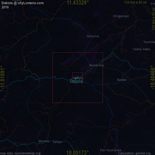
Analysis of Dabola night lights 2016
Square area 10x10 km:
 0%
0%90-99
0%80-89
0%70-79
0%60-69
0%50-59
0.83%40-49
0%30-39
0%20-29
0%10-19
0%0-9
99.17%Square area 50x50 km:
0%90-99
0%80-89
0%70-79
0%60-69
0%50-59
0.03%40-49
0%30-39
0%20-29
0%10-19
0%0-9
99.97%Clear (daylight) street map image can be seen on geolist.org.
Map coordinates:
11° 25' 59.8" North, 11° 48' 39.3" West
10° 44' 35.9" North, 11° 6' 28" West
10° 3' 6.2" North, 10° 24' 16.8" West
Some cities around Dabola sort by population:
• Mamou
115 km =71.5 mi,  249°
249°
• Tougué
98.9 km =61.5 mi,  322°
322°
• Kabala, SL
137.3 km =85.3 mi,  200°
200°
• Kouroussa
134.2 km =83.4 mi,  94°
94°
• Koubia
127.1 km =79 mi, 317°
• Faranah
87.7 km =54.5 mi,  152°
152°
• Dalaba
124.9 km =77.6 mi,  267°
267°
• Dinguiraye
74.6 km =46.4 mi,  35°
35°
2422442 (p: 13,057)
Sources (retrieved 2019-11-25):
» Earth at Night: Flat Maps 2012, 2016