Kissidougou night lights from space
Night Light of Kissidougou (Faranah) from space (Guinea) Src. Average luminocity for 10x10km area is 0.381% and for 50x50km: 0.015%.

Analysis of Kissidougou night lights 2016
Square area 10x10 km:
 0%
0%90-99
0%80-89
0%70-79
0%60-69
0%50-59
0%40-49
0%30-39
0.43%20-29
0.43%10-19
0.87%0-9
98.27%Square area 50x50 km:
0%90-99
0%80-89
0%70-79
0%60-69
0%50-59
0%40-49
0%30-39
0.02%20-29
0.02%10-19
0.03%0-9
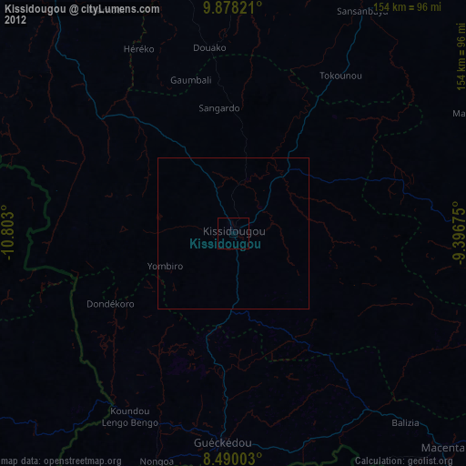
99.93%Clear (daylight) street map image can be seen on geolist.org.
Map coordinates:
9° 52' 41.6" North, 10° 48' 10.8" West
9° 11' 5.3" North, 10° 5' 59.5" West
8° 29' 24.1" North, 9° 23' 48.3" West
Some cities around Kissidougou sort by population:
• Koidu, SL
113.1 km =70.3 mi,  237°
237°
• Gueckedou
68.7 km =42.7 mi,  183°
183°
• Macenta
99.3 km =61.7 mi,  135°
135°
• Voinjama, LR
93.2 km =57.9 mi,  155°
155°
• Kailahun, SL
113.4 km =70.5 mi,  207°
207°
• Faranah
118.4 km =73.6 mi,  323°
323°
• Tokonou
62.3 km =38.7 mi,  33°
33°
• Buedu, SL
105 km =65.2 mi,  196°
196°
2419472 (p: 47,099)
Sources (retrieved 2019-11-25):
» Earth at Night: Flat Maps 2012, 2016