Buedu night lights from space
Night Light of Buedu (Eastern Province) from space (Sierra Leone) Src. Average luminocity for 10x10km area is 0% and for 50x50km: 0.0338%.
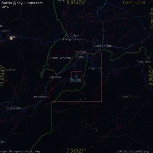
Analysis of Buedu night lights 2016
Square area 10x10 km:
 0%
0%90-99
0%80-89
0%70-79
0%60-69
0%50-59
0%40-49
0%30-39
0%20-29
0%10-19
0%0-9
100%Square area 50x50 km:
0%90-99
0%80-89
0%70-79
0%60-69
0%50-59
0%40-49
0.03%30-39
0%20-29
0.07%10-19
0%0-9
99.9%Clear (daylight) street map image can be seen on geolist.org.
Map coordinates:
8° 58' 29.1" North, 11° 4' 28.1" West
8° 16' 46.6" North, 10° 22' 16.9" West
7° 34' 59.6" North, 9° 40' 5.6" West
Some cities around Buedu sort by population:
• Gueckedou, GN
41.3 km =25.7 mi,  39°
39°
• Voinjama, LR
70.4 km =43.7 mi,  77°
77°
• Segbwema
71.2 km =44.2 mi,  243°
243°
• Kailahun
22.2 km =13.8 mi,  269°
269°
• Pendembu
40.9 km =25.4 mi, 240°
• Bunumbu
55.5 km =34.5 mi,  257°
257°
• Tombodu
31.7 km =19.7 mi, 239°
• Daru
61 km =37.9 mi, 238°
2409751 (p: 5,412)
Sources (retrieved 2019-11-25):
» Earth at Night: Flat Maps 2012, 2016