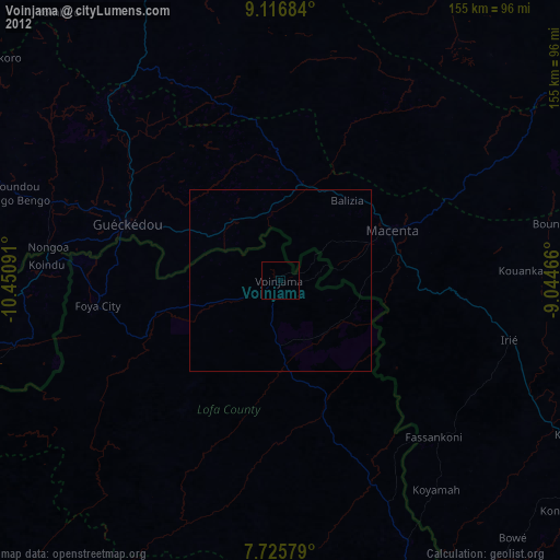
Voinjama night lights from space
Night Light of Voinjama (Lofa) from space (Liberia) Src. Average luminocity for 10x10km area is 0% and for 50x50km: 0.0027%.
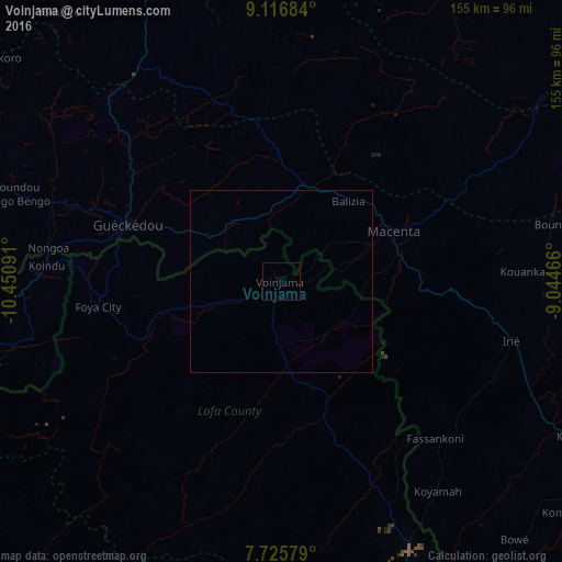
Analysis of Voinjama night lights 2016
Square area 10x10 km:
 0%
0%90-99
0%80-89
0%70-79
0%60-69
0%50-59
0%40-49
0%30-39
0%20-29
0%10-19
0%0-9
100%Square area 50x50 km:
0%90-99
0%80-89
0%70-79
0%60-69
0%50-59
0%40-49
0%30-39
0%20-29
0%10-19
0%0-9
100%Clear (daylight) street map image can be seen on geolist.org.
Map coordinates:
9° 7' 0.6" North, 10° 27' 3.3" West
8° 25' 19" North, 9° 44' 52" West
7° 43' 32.8" North, 9° 2' 40.8" West
Some cities around Voinjama sort by population:
• Gueckedou, GN
45.4 km =28.2 mi,  290°
290°
• Kissidougou, GN
93.2 km =57.9 mi,  335°
335°
• Macenta, GN
33.3 km =20.7 mi,  66°
66°
• Kailahun, SL
92.2 km =57.3 mi,  260°
260°
• Pendembu, SL
110.2 km =68.5 mi,  250°
250°
• Kérouané, GN
123.6 km =76.8 mi,  40°
40°
• Tombodu, SL
101.1 km =62.8 mi, 251°
• Buedu, SL
70.4 km =43.7 mi, 257°
2273312 (p: 26,594)
Sources (retrieved 2019-11-25):
» Earth at Night: Flat Maps 2012, 2016