Tokonou night lights from space
Night Light of Tokonou (Kankan) from space (Guinea) Src. Average luminocity for 10x10km area is 0% and for 50x50km: 0%.
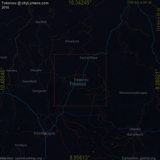
Analysis of Tokonou night lights 2016
Square area 10x10 km:
 0%
0%90-99
0%80-89
0%70-79
0%60-69
0%50-59
0%40-49
0%30-39
0%20-29
0%10-19
0%0-9
100%Square area 50x50 km:
0%90-99
0%80-89
0%70-79
0%60-69
0%50-59
0%40-49
0%30-39
0%20-29
0%10-19
0%0-9
100%Clear (daylight) street map image can be seen on geolist.org.
Map coordinates:
10° 20' 32.8" North, 10° 29' 11.3" West
9° 39' 0" North, 9° 46' 60" West
8° 57' 22.1" North, 9° 4' 48.8" West
Some cities around Tokonou sort by population:
• Kankan
97.1 km =60.3 mi,  32°
32°
• Gueckedou
126.4 km =78.5 mi,  197°
197°
• Kissidougou
62.3 km =38.7 mi,  213°
213°
• Macenta
127.7 km =79.3 mi,  164°
164°
• Voinjama, LR
136.6 km =84.9 mi,  178°
178°
• Kouroussa
111.7 km =69.4 mi,  354°
354°
• Faranah
113.8 km =70.7 mi,  292°
292°
• Kérouané
94.3 km =58.6 mi,  116°
116°
2414659 (p: 6,729)
Sources (retrieved 2019-11-25):
» Earth at Night: Flat Maps 2012, 2016