Faranah night lights from space
Night Light of Faranah from space (Guinea) Src. Average luminocity for 10x10km area is 0% and for 50x50km: 0%.
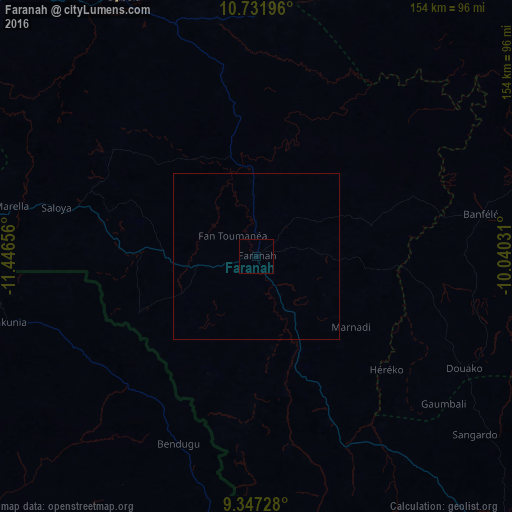
Analysis of Faranah night lights 2016
Square area 10x10 km:
 0%
0%90-99
0%80-89
0%70-79
0%60-69
0%50-59
0%40-49
0%30-39
0%20-29
0%10-19
0%0-9
100%Square area 50x50 km:
0%90-99
0%80-89
0%70-79
0%60-69
0%50-59
0%40-49
0%30-39
0%20-29
0%10-19
0%0-9
100%Clear (daylight) street map image can be seen on geolist.org.
Map coordinates:
10° 43' 55.1" North, 11° 26' 47.6" West
10° 2' 25.3" North, 10° 44' 36.3" West
9° 20' 50.2" North, 10° 2' 25.1" West
Some cities around Faranah sort by population:
• Kissidougou
118.4 km =73.6 mi,  143°
143°
• Mamou
152.1 km =94.5 mi,  284°
284°
• Kabala, SL
101.9 km =63.3 mi,  240°
240°
• Kouroussa
116 km =72.1 mi,  54°
54°
• Dabola
87.7 km =54.5 mi,  332°
332°
• Yengema, SL
154.7 km =96.1 mi,  197°
197°
• Tokonou
113.8 km =70.7 mi,  112°
112°
• Dinguiraye
139.1 km =86.4 mi,  1°
1°
2421273 (p: 9,350)
Sources (retrieved 2019-11-25):
» Earth at Night: Flat Maps 2012, 2016