Macenta night lights from space
Night Light of Macenta (Nzerekore) from space (Guinea) Src. Average luminocity for 10x10km area is 0% and for 50x50km: 0.0187%.
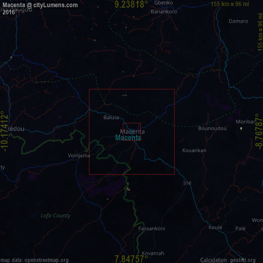

Analysis of Macenta night lights 2016
Square area 10x10 km:
 0%
0%90-99
0%80-89
0%70-79
0%60-69
0%50-59
0%40-49
0%30-39
0%20-29
0%10-19
0%0-9
100%Square area 50x50 km:
0%90-99
0%80-89
0%70-79
0%60-69
0%50-59
0%40-49
0%30-39
0%20-29
0.02%10-19
0.08%0-9
99.9%Clear (daylight) street map image can be seen on geolist.org.
Map coordinates:
9° 14' 17.4" North, 10° 10' 26.8" West
8° 32' 36.6" North, 9° 28' 15.6" West
7° 50' 51.3" North, 8° 46' 4.3" West
Some cities around Macenta sort by population:
• Nzérékoré
113.3 km =70.4 mi,  140°
140°
• Gueckedou
72.9 km =45.3 mi,  272°
272°
• Kissidougou
99.3 km =61.7 mi,  315°
315°
• Voinjama, LR
33.3 km =20.7 mi,  246°
246°
• Kailahun, SL
124.7 km =77.5 mi,  256°
256°
• Beyla
91.9 km =57.1 mi,  79°
79°
• Kérouané
94.6 km =58.8 mi,  31°
31°
• Buedu, SL
103.3 km =64.2 mi, 253°
2417988 (p: 43,102)
Sources (retrieved 2019-11-25):
» Earth at Night: Flat Maps 2012, 2016