Gueckedou night lights from space
Night Light of Gueckedou (Nzerekore) from space (Guinea) Src. Average luminocity for 10x10km area is 0% and for 50x50km: 0%.
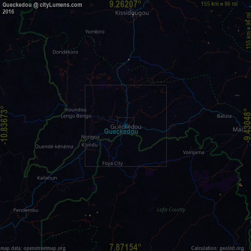
Analysis of Gueckedou night lights 2016
Square area 10x10 km:
 0%
0%90-99
0%80-89
0%70-79
0%60-69
0%50-59
0%40-49
0%30-39
0%20-29
0%10-19
0%0-9
100%Square area 50x50 km:
0%90-99
0%80-89
0%70-79
0%60-69
0%50-59
0%40-49
0%30-39
0%20-29
0%10-19
0%0-9
100%Clear (daylight) street map image can be seen on geolist.org.
Map coordinates:
9° 15' 43.5" North, 10° 50' 12.2" West
8° 34' 2.8" North, 10° 8' 1" West
7° 52' 17.5" North, 9° 25' 49.7" West
Some cities around Gueckedou sort by population:
• Kissidougou
68.7 km =42.7 mi,  3°
3°
• Macenta
72.9 km =45.3 mi,  92°
92°
• Voinjama, LR
45.4 km =28.2 mi,  110°
110°
• Kailahun, SL
58 km =36 mi,  236°
236°
• Pendembu, SL
80.8 km =50.2 mi,  229°
229°
• Bunumbu, SL
91.5 km =56.9 mi, 241°
• Tombodu, SL
71.9 km =44.7 mi, 228°
• Buedu, SL
41.3 km =25.7 mi,  219°
219°
2420562 (p: 79,140)
Sources (retrieved 2019-11-25):
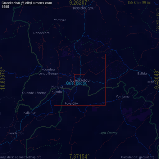
» NASA, Earths city lights 1995
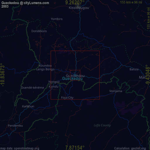
» NASA city lights 2003
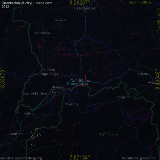
» Earth at Night: Flat Maps 2012, 2016