Gabú night lights from space
Night Light of Gabú from space (Guinea-Bissau) Src. Average luminocity for 10x10km area is 0.1736% and for 50x50km: 0.0071%.
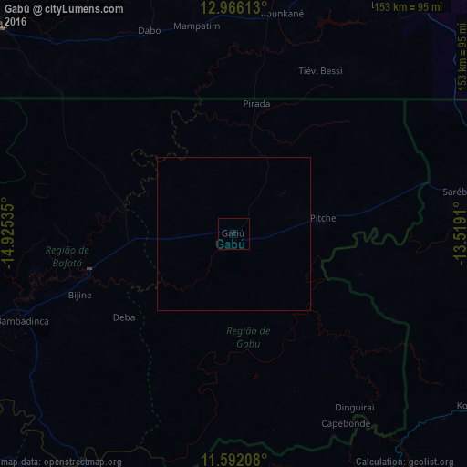
Analysis of Gabú night lights 2016
Square area 10x10 km:
 0%
0%90-99
0%80-89
0%70-79
0%60-69
0%50-59
0%40-49
0%30-39
0%20-29
0%10-19
0.83%0-9
99.17%Square area 50x50 km:
0%90-99
0%80-89
0%70-79
0%60-69
0%50-59
0%40-49
0%30-39
0%20-29
0%10-19
0.03%0-9
99.97%Clear (daylight) street map image can be seen on geolist.org.
Map coordinates:
12° 57' 58.1" North, 14° 55' 31.3" West
12° 16' 48" North, 14° 13' 20" West
11° 35' 31.5" North, 13° 31' 8.8" West
Some cities around Gabú sort by population:
• Kolda, SN
103.7 km =64.4 mi,  311°
311°
• Bafatá
49.4 km =30.7 mi,  255°
255°
• Vélingara, SN
97.4 km =60.5 mi,  6°
6°
• Basse Santa Su, GM
114.5 km =71.1 mi,  0°
0°
• Koundara, GN
102.7 km =63.8 mi,  77°
77°
• Buba
114 km =70.8 mi,  227°
227°
• Sabi, GM
106 km =65.9 mi, 1°
• Farim
110.9 km =68.9 mi,  281°
281°
2372532 (p: 14,430)
Sources (retrieved 2019-11-25):
» Earth at Night: Flat Maps 2012, 2016