Kindia night lights from space
Night Light of Kindia from space (Guinea) Src. Average luminocity for 10x10km area is 14.2562% and for 50x50km: 0.6681%.
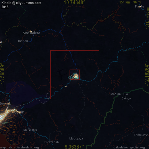
Analysis of Kindia night lights 2016
Square area 10x10 km:
 0%
0%90-99
0%80-89
2.27%70-79
3.51%60-69
3.72%50-59
2.69%40-49
3.51%30-39
2.48%20-29
2.48%10-19
3.31%0-9
76.03%Square area 50x50 km:
0%90-99
0%80-89
0.09%70-79
0.14%60-69
0.15%50-59
0.14%40-49
0.14%30-39
0.13%20-29
0.13%10-19
0.13%0-9
98.92%Clear (daylight) street map image can be seen on geolist.org.
Map coordinates:
10° 44' 54.5" North, 13° 34' 8" West
10° 3' 24.9" North, 12° 51' 56.7" West
9° 21' 49.9" North, 12° 9' 45.5" West
Some cities around Kindia sort by population:
• Coyah
68.9 km =42.8 mi,  235°
235°
• Fria
85.7 km =53.3 mi,  293°
293°
• Mamou
91.8 km =57 mi,  67°
67°
• Forécariah
73.8 km =45.9 mi,  199°
199°
• Tondon
63.2 km =39.3 mi,  303°
303°
• Dubréka
77.8 km =48.3 mi,  247°
247°
• Kimbo
84 km =52.2 mi, 296°
• Kukuna, SL
76.5 km =47.5 mi,  163°
163°
2419533 (p: 117,062)
Sources (retrieved 2019-11-25):
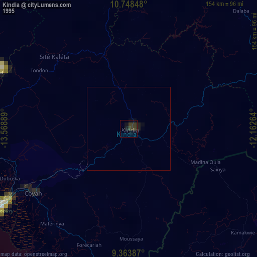
» NASA, Earths city lights 1995
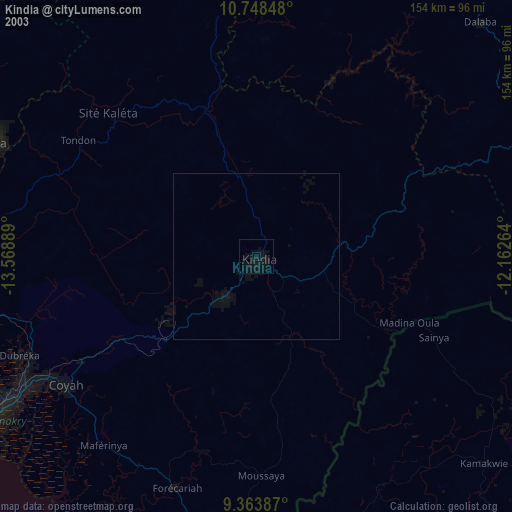
» NASA city lights 2003
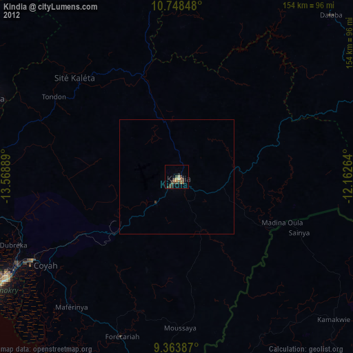
» Earth at Night: Flat Maps 2012, 2016