Tamale night lights from space
Night Light of Tamale (Northern) from space (Ghana) Src. Average luminocity for 10x10km area is 74.4827% and for 50x50km: 6.7138%.


Analysis of Tamale night lights 2016
Square area 10x10 km:
 9.31%
9.31%90-99
21.21%80-89
26.62%70-79
11.04%60-69
5.19%50-59
6.71%40-49
10.17%30-39
6.06%20-29
3.03%10-19
0.65%0-9
0%Square area 50x50 km:
0.37%90-99
1.01%80-89
1.79%70-79
0.79%60-69
0.51%50-59
0.58%40-49
1.38%30-39
1.51%20-29
1.54%10-19
4.23%0-9
86.3%Clear (daylight) street map image can be seen on geolist.org.
Map coordinates:
10° 5' 37.5" North, 1° 32' 32.7" West
9° 24' 2.8" North, 0° 50' 21.5" West
8° 42' 23.1" North, 0° 8' 10.2" West
Some cities around Tamale sort by population:
• Bassar, TG
178.7 km =111 mi,  95°
95°
• Bolgatanga
154 km =95.7 mi,  359°
359°
• Yendi
91.1 km =56.6 mi,  87°
87°
• Sansanné-Mango, TG
178.7 km =111 mi,  53°
53°
• Savelugu
24.9 km =15.5 mi,  3°
3°
• Salaga
100.9 km =62.7 mi,  159°
159°
• Navrongo
168.5 km =104.7 mi,  350°
350°
• Kpandae
137.9 km =85.7 mi,  138°
138°
2294877 (p: 360,579)
Sources (retrieved 2019-11-25):
» NASA, Earths city lights 1995
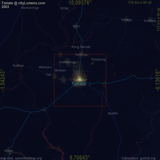
» NASA city lights 2003
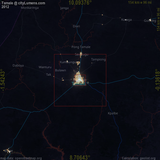
» Earth at Night: Flat Maps 2012, 2016