Salaga night lights from space
Night Light of Salaga (Northern) from space (Ghana) Src. Average luminocity for 10x10km area is 4.5413% and for 50x50km: 0.186%.
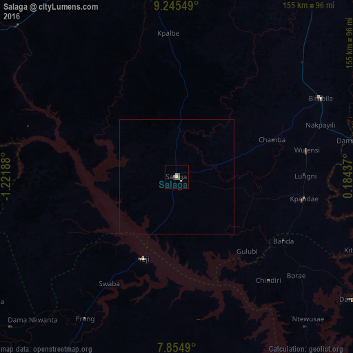
Analysis of Salaga night lights 2016
Square area 10x10 km:
 0%
0%90-99
0.62%80-89
0.21%70-79
0.83%60-69
0.21%50-59
1.45%40-49
3.1%30-39
0.21%20-29
0.83%10-19
0%0-9
92.56%Square area 50x50 km:
0%90-99
0.03%80-89
0.01%70-79
0.03%60-69
0.01%50-59
0.06%40-49
0.13%30-39
0.01%20-29
0.03%10-19
0%0-9
99.7%Clear (daylight) street map image can be seen on geolist.org.
Map coordinates:
9° 14' 43.8" North, 1° 13' 18.8" West
8° 33' 3" North, 0° 31' 7.5" West
7° 51' 17.6" North, 0° 11' 3.7" East
Some cities around Salaga sort by population:
• Tamale
100.9 km =62.7 mi,  339°
339°
• Ejura
159 km =98.8 mi,  215°
215°
• Bassar, TG
162.7 km =101.1 mi,  61°
61°
• Kintampo
144.2 km =89.6 mi,  247°
247°
• Yendi
113.8 km =70.7 mi,  29°
29°
• Savelugu
124 km =77.1 mi, 344°
• Kete Krachi
98.7 km =61.3 mi,  148°
148°
• Kpandae
56.5 km =35.1 mi,  99°
99°
2295684 (p: 25,472)
Sources (retrieved 2019-11-25):
» Earth at Night: Flat Maps 2012, 2016