Yendi night lights from space
Night Light of Yendi (Northern) from space (Ghana) Src. Average luminocity for 10x10km area is 13.8528% and for 50x50km: 0.5724%.
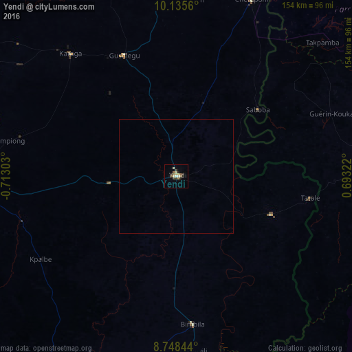
Analysis of Yendi night lights 2016
Square area 10x10 km:
 1.52%
1.52%90-99
0.87%80-89
3.9%70-79
1.08%60-69
0.87%50-59
3.03%40-49
2.16%30-39
2.16%20-29
1.95%10-19
2.38%0-9
80.09%Square area 50x50 km:
0.06%90-99
0.03%80-89
0.15%70-79
0.04%60-69
0.03%50-59
0.12%40-49
0.08%30-39
0.08%20-29
0.08%10-19
0.09%0-9
99.22%Clear (daylight) street map image can be seen on geolist.org.
Map coordinates:
10° 8' 8.2" North, 0° 42' 46.9" West
9° 26' 33.8" North, 0° 0' 35.7" West
8° 44' 54.4" North, 0° 41' 35.6" East
Some cities around Yendi sort by population:
• Tamale
91.1 km =56.6 mi,  267°
267°
• Bassar, TG
89.5 km =55.6 mi,  103°
103°
• Sansanné-Mango, TG
114.7 km =71.3 mi,  27°
27°
• Savelugu
91.7 km =57 mi,  282°
282°
• Salaga
113.8 km =70.7 mi,  209°
209°
• Niamtougou, TG
127.5 km =79.2 mi,  73°
73°
• Kandé, TG
129 km =80.2 mi,  63°
63°
• Kpandae
108.3 km =67.3 mi,  180°
180°
2293801 (p: 42,972)
Sources (retrieved 2019-11-25):
» Earth at Night: Flat Maps 2012, 2016