Sansanné-Mango night lights from space
Night Light of Sansanné-Mango (Savanes) from space (Togo) Src. Average luminocity for 10x10km area is 1.5351% and for 50x50km: 0.2316%.
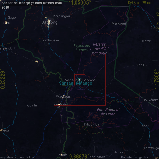
Analysis of Sansanné-Mango night lights 2016
Square area 10x10 km:
 0%
0%90-99
0%80-89
0.83%70-79
0%60-69
0%50-59
0%40-49
1.24%30-39
0.41%20-29
0%10-19
0%0-9
97.52%Square area 50x50 km:
0%90-99
0.03%80-89
0.08%70-79
0.01%60-69
0%50-59
0.02%40-49
0.08%30-39
0.09%20-29
0.11%10-19
0%0-9
99.58%Clear (daylight) street map image can be seen on geolist.org.
Map coordinates:
11° 3' 0.2" North, 0° 13' 56.2" West
10° 21' 33" North, 0° 28' 15" East
9° 40' 0.3" North, 1° 10' 26.3" East
Some cities around Sansanné-Mango sort by population:
• Natitingou, BJ
99.6 km =61.9 mi,  93°
93°
• Bawku, GH
110.3 km =68.5 mi,  315°
315°
• Yendi, GH
114.7 km =71.3 mi,  207°
207°
• Dapaong
62.9 km =39.1 mi,  332°
332°
• Niamtougou
95.6 km =59.4 mi,  133°
133°
• Tanguiéta, BJ
91.7 km =57 mi,  71°
71°
• Kandé
77.1 km =47.9 mi, 125°
• Pama, BF
102.3 km =63.6 mi,  14°
14°
2365190 (p: 37,748)
Sources (retrieved 2019-11-25):
» Earth at Night: Flat Maps 2012, 2016