Kpandae night lights from space
Night Light of Kpandae (Northern) from space (Ghana) Src. Average luminocity for 10x10km area is 1.4421% and for 50x50km: 0.1449%.
Analysis of Kpandae night lights 2016
Square area 10x10 km:
 0%
0%90-99
0%80-89
0%70-79
0%60-69
0.83%50-59
0%40-49
0.83%30-39
0.83%20-29
0%10-19
0.83%0-9
96.69%Square area 50x50 km:
0%90-99
0%80-89
0%70-79
0%60-69
0.03%50-59
0.03%40-49
0.1%30-39
0.12%20-29
0.02%10-19
0.03%0-9
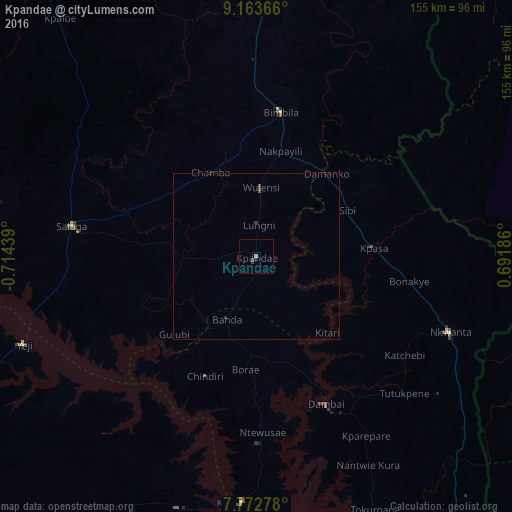
99.66%Clear (daylight) street map image can be seen on geolist.org.
Map coordinates:
9° 9' 49.2" North, 0° 42' 51.8" West
8° 28' 7.9" North, 0° 0' 40.6" West
7° 46' 22" North, 0° 41' 30.7" East
Some cities around Kpandae sort by population:
• Tamale
137.9 km =85.7 mi,  318°
318°
• Sokodé, TG
138.2 km =85.9 mi,  65°
65°
• Bassar, TG
123.1 km =76.5 mi,  45°
45°
• Yendi
108.3 km =67.3 mi,  0°
0°
• Salaga
56.5 km =35.1 mi,  279°
279°
• Badou, TG
119.3 km =74.1 mi,  145°
145°
• Sotouboua, TG
109.9 km =68.3 mi,  84°
84°
• Kete Krachi
75.2 km =46.7 mi,  183°
183°
2299236 (p: 8,652)
Sources (retrieved 2019-11-25):
» Earth at Night: Flat Maps 2012, 2016