Savelugu night lights from space
Night Light of Savelugu (Northern) from space (Ghana) Src. Average luminocity for 10x10km area is 7.2294% and for 50x50km: 4.8289%.
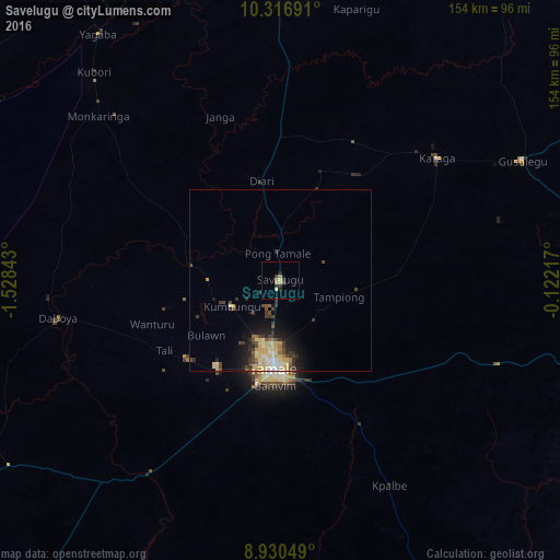
Analysis of Savelugu night lights 2016
Square area 10x10 km:
 0%
0%90-99
0%80-89
2.6%70-79
0.87%60-69
1.73%50-59
0%40-49
0.87%30-39
2.6%20-29
2.16%10-19
0.43%0-9
88.74%Square area 50x50 km:
0.28%90-99
0.74%80-89
1.33%70-79
0.58%60-69
0.38%50-59
0.33%40-49
1.04%30-39
1.11%20-29
1.09%10-19
2.55%0-9
90.56%Clear (daylight) street map image can be seen on geolist.org.
Map coordinates:
10° 19' 0.9" North, 1° 31' 42.3" West
9° 37' 27.9" North, 0° 49' 31.1" West
8° 55' 49.8" North, 0° 7' 19.8" West
Some cities around Savelugu sort by population:
• Tamale
24.9 km =15.5 mi,  183°
183°
• Bawku
172.1 km =106.9 mi,  21°
21°
• Bolgatanga
129.1 km =80.2 mi,  358°
358°
• Yendi
91.7 km =57 mi,  102°
102°
• Sansanné-Mango, TG
163.8 km =101.8 mi,  60°
60°
• Salaga
124 km =77.1 mi,  164°
164°
• Navrongo
144.3 km =89.7 mi,  348°
348°
• Kpandae
156.5 km =97.2 mi,  145°
145°
2295517 (p: 29,310)
Sources (retrieved 2019-11-25):
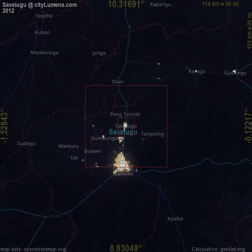
» Earth at Night: Flat Maps 2012, 2016