Bolgatanga night lights from space
Night Light of Bolgatanga (Upper East) from space (Ghana) Src. Average luminocity for 10x10km area is 34.6012% and for 50x50km: 2.266%.
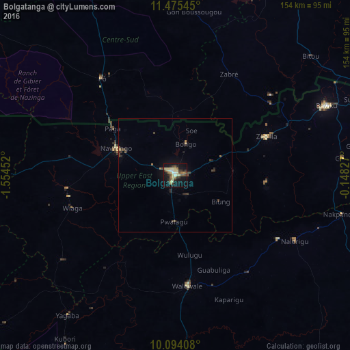
Analysis of Bolgatanga night lights 2016
Square area 10x10 km:
 2.48%
2.48%90-99
2.69%80-89
13.64%70-79
3.51%60-69
2.69%50-59
2.89%40-49
5.58%30-39
6.61%20-29
4.96%10-19
36.98%0-9
17.98%Square area 50x50 km:
0.1%90-99
0.11%80-89
0.61%70-79
0.17%60-69
0.24%50-59
0.15%40-49
0.69%30-39
0.51%20-29
0.46%10-19
1.84%0-9
95.13%Clear (daylight) street map image can be seen on geolist.org.
Map coordinates:
11° 28' 31.6" North, 1° 33' 16.3" West
10° 47' 8" North, 0° 51' 5" West
10° 5' 38.7" North, 0° 8' 53.8" West
Some cities around Bolgatanga sort by population:
• Bawku
73.3 km =45.5 mi,  65°
65°
• Tenkodogo, BF
122.4 km =76.1 mi,  25°
25°
• Dapaong, TG
116 km =72.1 mi,  85°
85°
• Garango, BF
117.5 km =73 mi,  16°
16°
• Navrongo
29 km =18 mi,  294°
294°
• Pô, BF
53.4 km =33.2 mi,  323°
323°
• Manga, BF
100.6 km =62.5 mi,  346°
346°
• Ouargaye, BF
127.3 km =79.1 mi,  51°
51°
2302821 (p: 54,430)
Sources (retrieved 2019-11-25):
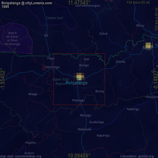
» NASA, Earths city lights 1995
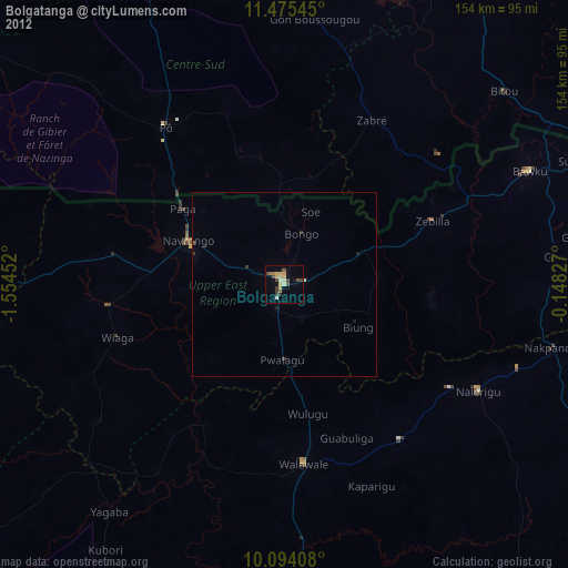
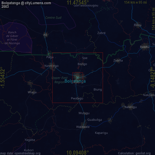
» NASA city lights 2003
» Earth at Night: Flat Maps 2012, 2016