Navrongo night lights from space
Night Light of Navrongo (Upper East) from space (Ghana) Src. Average luminocity for 10x10km area is 12.4827% and for 50x50km: 1.5274%.
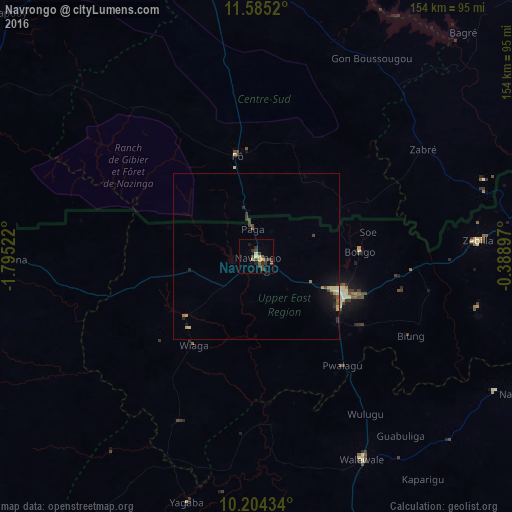
Analysis of Navrongo night lights 2016
Square area 10x10 km:
 0%
0%90-99
0%80-89
3.46%70-79
1.08%60-69
0.65%50-59
1.73%40-49
4.98%30-39
5.84%20-29
3.9%10-19
1.73%0-9
76.62%Square area 50x50 km:
0.03%90-99
0.01%80-89
0.39%70-79
0.19%60-69
0.16%50-59
0.14%40-49
0.44%30-39
0.38%20-29
0.49%10-19
0.88%0-9
96.88%Clear (daylight) street map image can be seen on geolist.org.
Map coordinates:
11° 35' 6.7" North, 1° 47' 42.8" West
10° 53' 44.1" North, 1° 5' 31.6" West
10° 12' 15.6" North, 0° 23' 20.3" West
Some cities around Navrongo sort by population:
• Bawku
94.6 km =58.8 mi,  78°
78°
• Bolgatanga
29 km =18 mi,  114°
114°
• Tenkodogo, BF
126 km =78.3 mi,  38°
38°
• Kombissiri, BF
133.1 km =82.7 mi,  348°
348°
• Garango, BF
116.6 km =72.5 mi,  30°
30°
• Léo, BF
113 km =70.2 mi,  281°
281°
• Pô, BF
31 km =19.3 mi, 349°
• Manga, BF
85.4 km =53.1 mi,  1°
1°
2297505 (p: 25,470)
Sources (retrieved 2019-11-25):
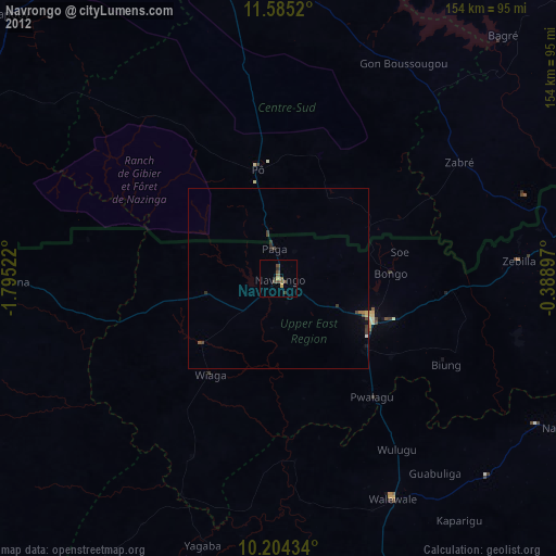
» Earth at Night: Flat Maps 2012, 2016