Bassar night lights from space
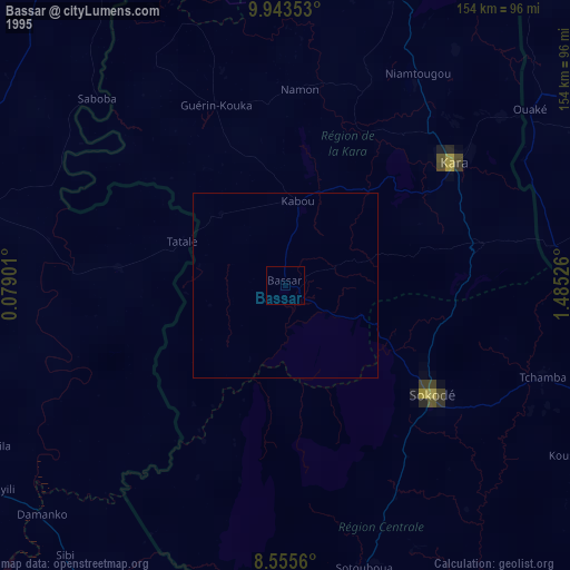
Night Light of Bassar (Kara) from space (Togo) Src. Average luminocity for 10x10km area is 2.3745% and for 50x50km: 0.1052%.
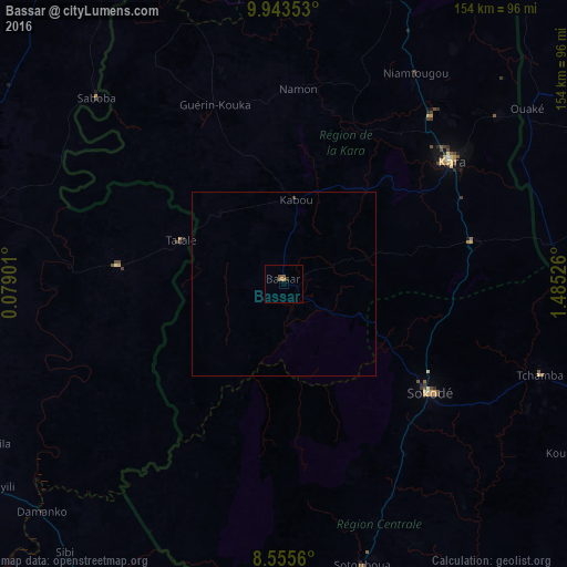
Analysis of Bassar night lights 2016
Square area 10x10 km:
 0%
0%90-99
0%80-89
0%70-79
0.87%60-69
0.43%50-59
1.3%40-49
0.87%30-39
0%20-29
0.87%10-19
0%0-9
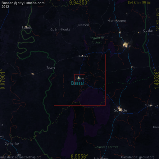
95.67%Square area 50x50 km:
0%90-99
0%80-89
0%70-79
0.03%60-69
0.02%50-59
0.05%40-49
0.03%30-39
0.03%20-29
0.04%10-19
0%0-9
99.8%Clear (daylight) street map image can be seen on geolist.org.
Map coordinates:
9° 56' 36.7" North, 0° 4' 44.4" East
9° 15' 0.9" North, 0° 46' 55.7" East
8° 33' 20.2" North, 1° 29' 6.9" East
Some cities around Bassar sort by population:
• Sokodé
48.7 km =30.3 mi,  127°
127°
• Kara
55.5 km =34.5 mi,  52°
52°
• Tchamba
73.7 km =45.8 mi,  109°
109°
• Niamtougou
67.6 km =42 mi,  31°
31°
• Bafilo
54.3 km =33.7 mi,  78°
78°
• Sotouboua
79.5 km =49.4 mi,  163°
163°
• Kandé
83.8 km =52.1 mi,  20°
20°
• Pagouda
81.8 km =50.8 mi, 46°
2367568 (p: 61,845)
Sources (retrieved 2019-11-25):
» NASA, Earths city lights 1995
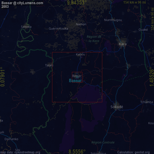
» NASA city lights 2003
» Earth at Night: Flat Maps 2012, 2016