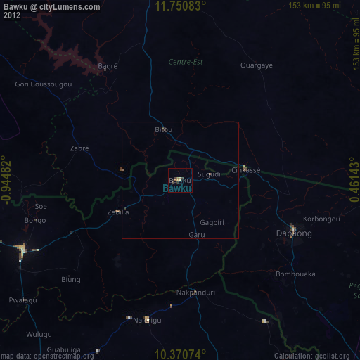
Bawku night lights from space
Night Light of Bawku (Upper East) from space (Ghana) Src. Average luminocity for 10x10km area is 20.4957% and for 50x50km: 1.4215%.
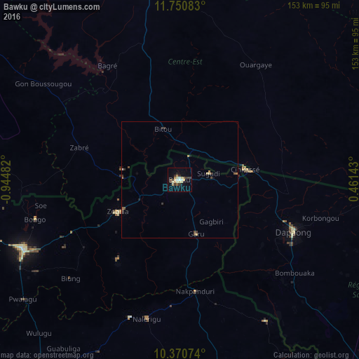


Analysis of Bawku night lights 2016
Square area 10x10 km:
 1.73%
1.73%90-99
2.6%80-89
6.28%70-79
1.73%60-69
1.95%50-59
1.73%40-49
1.3%30-39
5.63%20-29
1.95%10-19
5.19%0-9
69.91%Square area 50x50 km:
0.09%90-99
0.11%80-89
0.35%70-79
0.14%60-69
0.15%50-59
0.15%40-49
0.23%30-39
0.42%20-29
0.15%10-19
0.37%0-9
97.83%Clear (daylight) street map image can be seen on geolist.org.
Map coordinates:
11° 45' 3" North, 0° 56' 41.4" West
11° 3' 41.8" North, 0° 14' 30.1" West
10° 22' 14.7" North, 0° 27' 41.1" East
Some cities around Bawku sort by population:
• Bolgatanga
73.3 km =45.5 mi,  245°
245°
• Tenkodogo, BF
81.1 km =50.4 mi,  350°
350°
• Dapaong, TG
53.8 km =33.4 mi,  114°
114°
• Garango, BF
88.7 km =55.1 mi,  337°
337°
• Navrongo
94.6 km =58.8 mi,  258°
258°
• Pô, BF
99.3 km =61.7 mi,  276°
276°
• Ouargaye, BF
58.9 km =36.6 mi,  33°
33°
• Pama, BF
105.6 km =65.6 mi,  78°
78°
2303287 (p: 56,830)
Sources (retrieved 2019-11-25):
» NASA, Earths city lights 1995
» NASA city lights 2003
» Earth at Night: Flat Maps 2012, 2016