Ejura night lights from space
Night Light of Ejura (Ashanti) from space (Ghana) Src. Average luminocity for 10x10km area is 7.5996% and for 50x50km: 0.3563%.
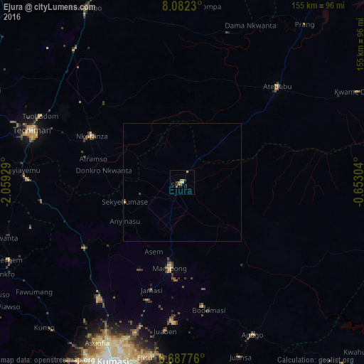
Analysis of Ejura night lights 2016
Square area 10x10 km:
 0%
0%90-99
0.43%80-89
2.16%70-79
1.73%60-69
1.73%50-59
1.52%40-49
0.87%30-39
1.08%20-29
0.65%10-19
0.22%0-9
89.61%Square area 50x50 km:
0%90-99
0.02%80-89
0.08%70-79
0.1%60-69
0.07%50-59
0.06%40-49
0.07%30-39
0.06%20-29
0.04%10-19
0.01%0-9
99.49%Clear (daylight) street map image can be seen on geolist.org.
Map coordinates:
8° 4' 56.3" North, 2° 3' 33.4" West
7° 23' 8.1" North, 1° 21' 22.2" West
6° 41' 15.9" North, 0° 39' 10.9" West
Some cities around Ejura sort by population:
• Kumasi
83 km =51.6 mi,  200°
200°
• Techiman
67.9 km =42.2 mi,  288°
288°
• Tafo
78.1 km =48.5 mi, 201°
• Kintampo
85.2 km =52.9 mi,  331°
331°
• Mampong
36.2 km =22.5 mi,  187°
187°
• Agogo
71.8 km =44.6 mi,  155°
155°
• Duayaw-Nkwanta
85.3 km =53 mi,  254°
254°
• Bechem
80.7 km =50.1 mi, 246°
2301217 (p: 70,807)
Sources (retrieved 2019-11-25):
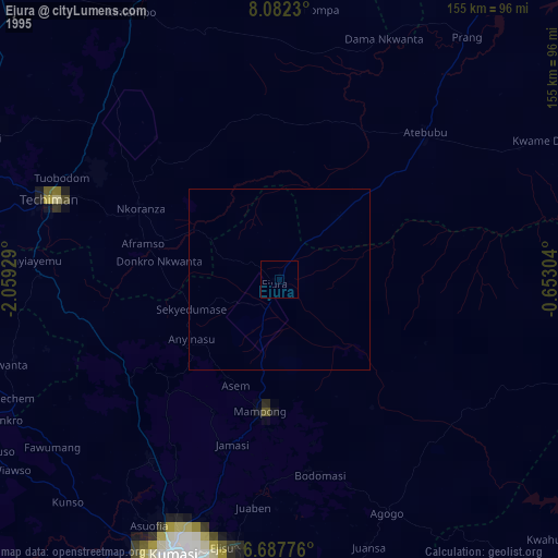
» NASA, Earths city lights 1995
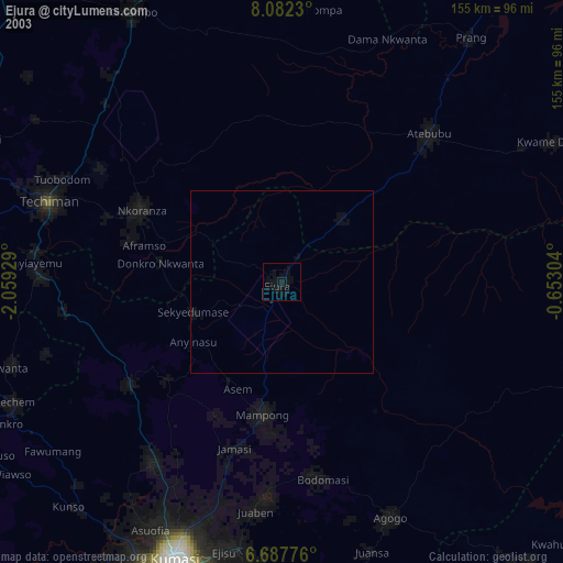
» NASA city lights 2003
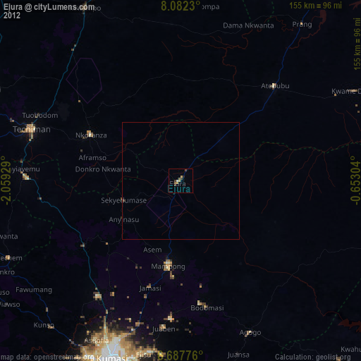
» Earth at Night: Flat Maps 2012, 2016