Kete Krachi night lights from space
Night Light of Kete Krachi (Volta) from space (Ghana) Src. Average luminocity for 10x10km area is 2.5723% and for 50x50km: 0.1677%.
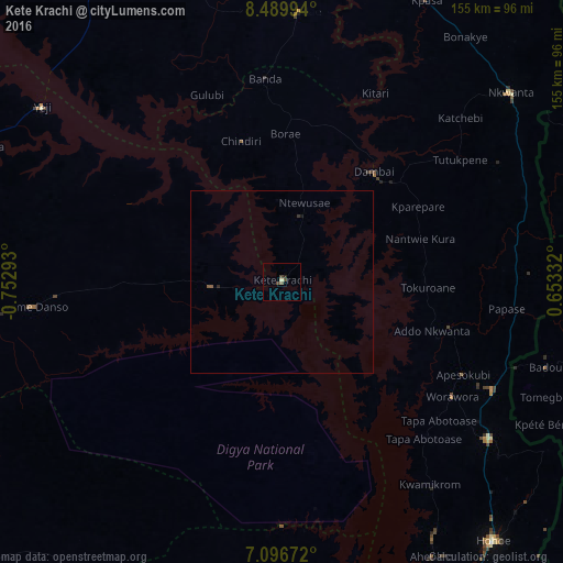
Analysis of Kete Krachi night lights 2016
Square area 10x10 km:
 0%
0%90-99
0.21%80-89
0.62%70-79
0%60-69
0%50-59
0.83%40-49
2.07%30-39
0.41%20-29
0.83%10-19
0%0-9
95.04%Square area 50x50 km:
0%90-99
0.01%80-89
0.03%70-79
0%60-69
0%50-59
0.1%40-49
0.08%30-39
0.03%20-29
0.08%10-19
0.03%0-9
99.63%Clear (daylight) street map image can be seen on geolist.org.
Map coordinates:
8° 29' 23.8" North, 0° 45' 10.5" West
7° 47' 38.1" North, 0° 2' 59.3" West
7° 5' 48.2" North, 0° 39' 12" East
Some cities around Kete Krachi sort by population:
• Atakpamé, TG
133.6 km =83 mi,  102°
102°
• Kpalimé, TG
124.7 km =77.5 mi,  142°
142°
• Hohoe
91.8 km =57 mi, 141°
• Kpandu
96.5 km =60 mi,  156°
156°
• Salaga
98.7 km =61.3 mi,  328°
328°
• Badou, TG
75.3 km =46.8 mi,  108°
108°
• Amlamé, TG
110.8 km =68.8 mi, 109°
• Kpandae
75.2 km =46.7 mi,  3°
3°
2299642 (p: 11,000)
Sources (retrieved 2019-11-25):
» Earth at Night: Flat Maps 2012, 2016