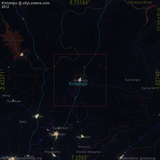
Kintampo night lights from space
Night Light of Kintampo (Brong-Ahafo) from space (Ghana) Src. Average luminocity for 10x10km area is 11.9091% and for 50x50km: 0.7018%.
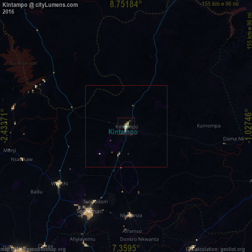
Analysis of Kintampo night lights 2016
Square area 10x10 km:
 0%
0%90-99
1.65%80-89
2.48%70-79
3.31%60-69
0.62%50-59
1.03%40-49
3.51%30-39
1.65%20-29
2.27%10-19
0%0-9
83.47%Square area 50x50 km:
0%90-99
0.07%80-89
0.16%70-79
0.18%60-69
0.03%50-59
0.05%40-49
0.24%30-39
0.12%20-29
0.17%10-19
0.04%0-9
98.96%Clear (daylight) street map image can be seen on geolist.org.
Map coordinates:
8° 45' 6.6" North, 2° 26' 1.4" West
8° 3' 22.6" North, 1° 43' 50.1" West
7° 21' 34.2" North, 1° 1' 38.9" West
Some cities around Kintampo sort by population:
• Ejura
85.2 km =52.9 mi,  151°
151°
• Sunyani
103.2 km =64.1 mi,  219°
219°
• Techiman
57.3 km =35.6 mi,  203°
203°
• Berekum
115.5 km =71.8 mi,  234°
234°
• Mampong
116.3 km =72.3 mi,  161°
161°
• Wenchi
54.2 km =33.7 mi, 229°
• Bechem
112.2 km =69.7 mi, 196°
• Duayaw-Nkwanta
106.1 km =65.9 mi, 202°
2299625 (p: 47,185)
Sources (retrieved 2019-11-25):
» Earth at Night: Flat Maps 2012, 2016