Obuase night lights from space
Night Light of Obuase (Ashanti) from space (Ghana) Src. Average luminocity for 10x10km area is 45.3554% and for 50x50km: 3.4527%.
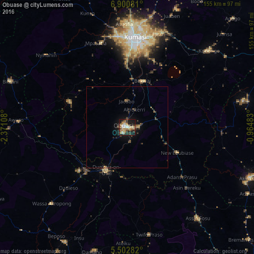
Analysis of Obuase night lights 2016
Square area 10x10 km:
 3.31%
3.31%90-99
6.2%80-89
9.5%70-79
8.68%60-69
9.71%50-59
1.65%40-49
8.68%30-39
7.64%20-29
15.08%10-19
27.48%0-9
2.07%Square area 50x50 km:
0.14%90-99
0.26%80-89
0.45%70-79
0.55%60-69
0.51%50-59
0.33%40-49
0.95%30-39
0.78%20-29
0.96%10-19
2.55%0-9
92.53%Clear (daylight) street map image can be seen on geolist.org.
Map coordinates:
6° 54' 2.9" North, 2° 22' 15.9" West
6° 12' 8.2" North, 1° 40' 4.7" West
5° 30' 10.2" North, 0° 57' 53.4" West
Some cities around Obuase sort by population:
• Kumasi
54.3 km =33.7 mi,  5°
5°
• Akim Oda
81.4 km =50.6 mi,  112°
112°
• Tafo
59.2 km =36.8 mi, 5°
• Konongo
67.9 km =42.2 mi,  47°
47°
• Dunkwa
29.6 km =18.4 mi,  204°
204°
• Foso
69.9 km =43.4 mi,  142°
142°
• Bibiani
77.6 km =48.2 mi,  291°
291°
• Akim Swedru
79.8 km =49.6 mi,  115°
115°
2296606 (p: 137,856)
Sources (retrieved 2019-11-25):
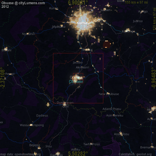
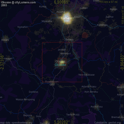
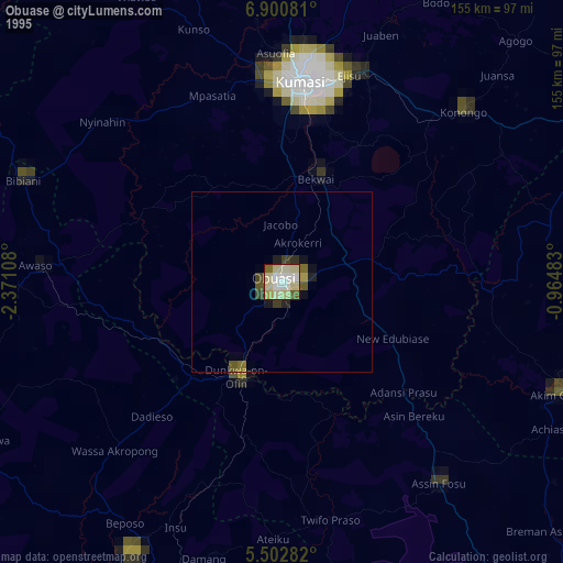
» NASA, Earths city lights 1995
» NASA city lights 2003
» Earth at Night: Flat Maps 2012, 2016