Akim Oda night lights from space
Night Light of Akim Oda (Eastern) from space (Ghana) Src. Average luminocity for 10x10km area is 29.5971% and for 50x50km: 3.0224%.
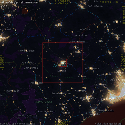
Analysis of Akim Oda night lights 2016
Square area 10x10 km:
 0.62%
0.62%90-99
1.03%80-89
9.09%70-79
6.61%60-69
4.34%50-59
4.96%40-49
3.93%30-39
4.13%20-29
4.34%10-19
28.1%0-9
32.85%Square area 50x50 km:
0.03%90-99
0.04%80-89
0.69%70-79
0.51%60-69
0.53%50-59
0.38%40-49
0.53%30-39
0.85%20-29
0.62%10-19
1.6%0-9
94.23%Clear (daylight) street map image can be seen on geolist.org.
Map coordinates:
6° 37' 32" North, 1° 41' 20" West
5° 55' 35.9" North, 0° 59' 8.8" West
5° 13' 36.7" North, 0° 16' 57.5" West
Some cities around Akim Oda sort by population:
• Swedru
53.6 km =33.3 mi,  143°
143°
• Suhum
60.6 km =37.7 mi,  77°
77°
• Nsawam
71.5 km =44.4 mi,  100°
100°
• Winneba
75.5 km =46.9 mi,  147°
147°
• Asamankese
36.4 km =22.6 mi, 101°
• Akwatia
23.3 km =14.5 mi,  57°
57°
• Foso
41.7 km =25.9 mi,  233°
233°
• Kibi
54.6 km =33.9 mi, 60°
2296564 (p: 60,604)
Sources (retrieved 2019-11-25):
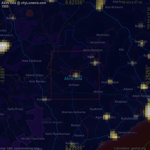
» NASA, Earths city lights 1995
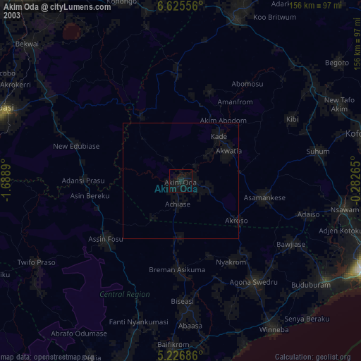
» NASA city lights 2003
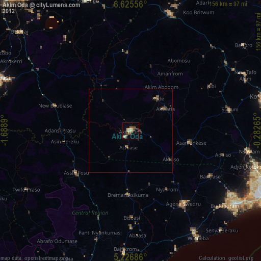
» Earth at Night: Flat Maps 2012, 2016