Foso night lights from space
Night Light of Foso (Central) from space (Ghana) Src. Average luminocity for 10x10km area is 12.0744% and for 50x50km: 0.8752%.
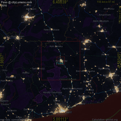
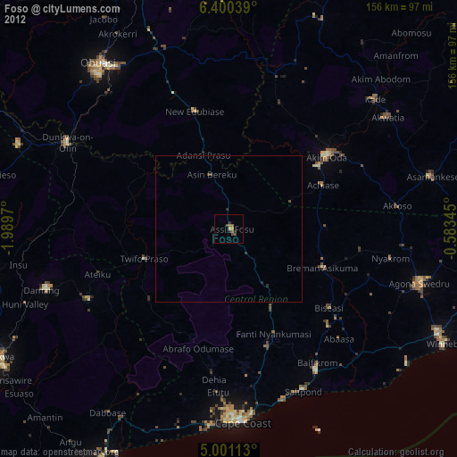
Analysis of Foso night lights 2016
Square area 10x10 km:
 0%
0%90-99
0%80-89
3.31%70-79
1.65%60-69
3.1%50-59
2.69%40-49
0.83%30-39
4.13%20-29
1.65%10-19
0.83%0-9
81.82%Square area 50x50 km:
0%90-99
0%80-89
0.14%70-79
0.07%60-69
0.2%50-59
0.2%40-49
0.19%30-39
0.4%20-29
0.25%10-19
0.14%0-9
98.42%Clear (daylight) street map image can be seen on geolist.org.
Map coordinates:
6° 24' 1.4" North, 1° 59' 22.9" West
5° 42' 4.3" North, 1° 17' 11.7" West
5° 0' 4.1" North, 0° 35' 0.4" West
Some cities around Foso sort by population:
• Cape Coast
66.4 km =41.3 mi,  176°
176°
• Akim Oda
41.7 km =25.9 mi,  53°
53°
• Swedru
67.4 km =41.9 mi,  105°
105°
• Dunkwa
61.5 km =38.2 mi,  297°
297°
• Elmina
68.9 km =42.8 mi,  185°
185°
• Saltpond
60.2 km =37.4 mi,  155°
155°
• Akwatia
64.9 km =40.3 mi, 54°
• Akim Swedru
36.8 km =22.9 mi, 54°
2300883 (p: 20,078)
Sources (retrieved 2019-11-25):
» Earth at Night: Flat Maps 2012, 2016