Dunkwa night lights from space
Night Light of Dunkwa (Central) from space (Ghana) Src. Average luminocity for 10x10km area is 16.0207% and for 50x50km: 2.4217%.
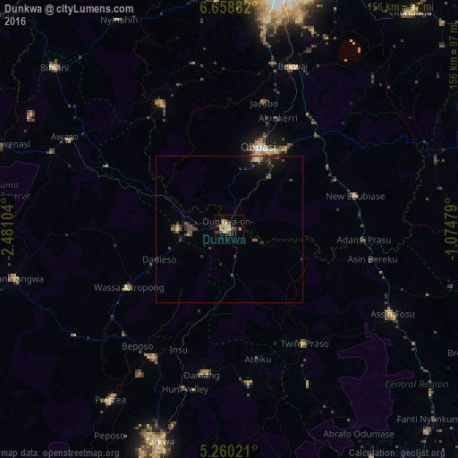
Analysis of Dunkwa night lights 2016
Square area 10x10 km:
100  0%
0%
90-99 0%
80-89 6.82%
70-79 2.89%
60-69 1.86%
50-59 0%
40-49 2.69%
30-39 4.75%
20-29 1.65%
10-19 2.27%
0-9 77.07%
0%90-99
0%80-89
6.82%70-79
2.89%60-69
1.86%50-59
0%40-49
2.69%30-39
4.75%20-29
1.65%10-19
2.27%0-9
77.07%Square area 50x50 km:
100 0.04%
90-99 0.09%
80-89 0.38%
70-79 0.25%
60-69 0.17%
50-59 0.32%
40-49 0.95%
30-39 0.69%
20-29 0.64%
10-19 1.26%
0-9 95.21%
0.04%90-99
0.09%80-89
0.38%70-79
0.25%60-69
0.17%50-59
0.32%40-49
0.95%30-39
0.69%20-29
0.64%10-19
1.26%0-9
95.21%Clear (daylight) street map image can be seen on geolist.org.
Map coordinates:
6° 39' 31.8" North, 2° 28' 51.7" West
5° 57' 35.9" North, 1° 46' 40.5" West
5° 15' 36.8" North, 1° 4' 29.2" West
Some cities around Dunkwa sort by population:
• Kumasi
82.8 km =51.4 mi,  11°
11°
• Obuase
29.6 km =18.4 mi,  24°
24°
• Prestea
71.1 km =44.2 mi,  214°
214°
• Tarkwa
76.6 km =47.6 mi,  197°
197°
• Foso
61.5 km =38.2 mi,  117°
117°
• Bibiani
82 km =51 mi,  313°
313°
• Akim Swedru
84.5 km =52.5 mi,  94°
94°
• Aboso
69.3 km =43.1 mi, 195°
2301400 (p: 33,379)
Sources (retrieved 2019-11-25):
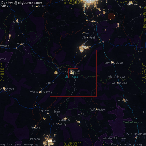
» Earth at Night: Flat Maps 2012, 2016