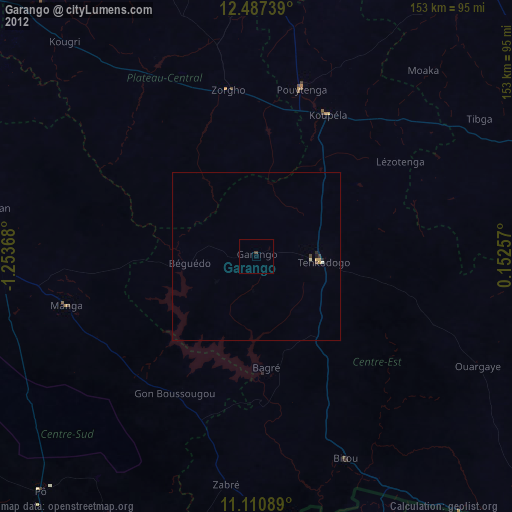
Garango night lights from space
Night Light of Garango (Centre-Est) from space (Burkina Faso) Src. Average luminocity for 10x10km area is 0.7438% and for 50x50km: 0.2949%.
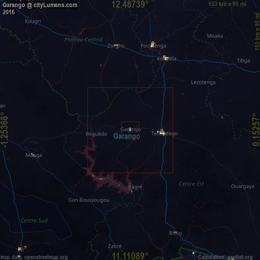
Analysis of Garango night lights 2016
Square area 10x10 km:
 0%
0%90-99
0%80-89
0%70-79
0%60-69
0%50-59
0%40-49
1.65%30-39
0%20-29
0%10-19
0%0-9
98.35%Square area 50x50 km:
0%90-99
0%80-89
0.09%70-79
0.04%60-69
0.03%50-59
0.03%40-49
0.15%30-39
0.09%20-29
0.03%10-19
0.01%0-9
99.52%Clear (daylight) street map image can be seen on geolist.org.
Map coordinates:
12° 29' 14.6" North, 1° 15' 13.2" West
11° 48' 0" North, 0° 33' 2" West
11° 6' 39.2" North, 0° 9' 9.3" East
Some cities around Garango sort by population:
• Bawku, GH
88.7 km =55.1 mi,  157°
157°
• Tenkodogo
19.8 km =12.3 mi,  96°
96°
• Koupéla
47.4 km =29.5 mi,  27°
27°
• Kombissiri
90.6 km =56.3 mi,  289°
289°
• Zorgo
50.4 km =31.3 mi,  351°
351°
• Pô
95.4 km =59.3 mi,  222°
222°
• Manga
58.9 km =36.6 mi,  255°
255°
• Ouargaye
74.2 km =46.1 mi,  116°
116°
2360615 (p: 29,076)
Sources (retrieved 2019-11-25):
» Earth at Night: Flat Maps 2012, 2016