Kombissiri night lights from space
Night Light of Kombissiri (Centre-Sud) from space (Burkina Faso) Src. Average luminocity for 10x10km area is 0.5372% and for 50x50km: 1.0222%.
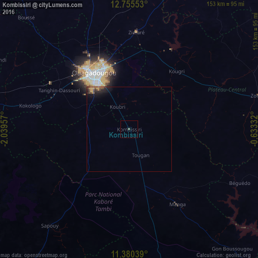
Analysis of Kombissiri night lights 2016
Square area 10x10 km:
 0%
0%90-99
0%80-89
0%70-79
0%60-69
0%50-59
0%40-49
0.83%30-39
0%20-29
0%10-19
0%0-9
99.17%Square area 50x50 km:
0.01%90-99
0.01%80-89
0.13%70-79
0.36%60-69
0.04%50-59
0.06%40-49
0.39%30-39
0.15%20-29
0.4%10-19
1.08%0-9
97.37%Clear (daylight) street map image can be seen on geolist.org.
Map coordinates:
12° 45' 19.9" North, 2° 2' 22.5" West
12° 4' 7.8" North, 1° 20' 11.2" West
11° 22' 49.4" North, 0° 37' 60" West
Some cities around Kombissiri sort by population:
• Ouagadougou
39.4 km =24.5 mi,  326°
326°
• Kokologo
60.4 km =37.5 mi,  283°
283°
• Zorgo
80.9 km =50.3 mi,  75°
75°
• Boussé
89.6 km =55.7 mi,  317°
317°
• Manga
53.4 km =33.2 mi,  147°
147°
• Ziniaré
57.2 km =35.5 mi,  4°
4°
• Pitmoaga
62.4 km =38.8 mi,  288°
288°
• Goulouré
67.5 km =41.9 mi, 285°
2359227 (p: 30,137)
Sources (retrieved 2019-11-25):
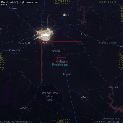
» Earth at Night: Flat Maps 2012, 2016