Tenkodogo night lights from space
Night Light of Tenkodogo (Centre-Est) from space (Burkina Faso) Src. Average luminocity for 10x10km area is 6.3388% and for 50x50km: 0.2949%.
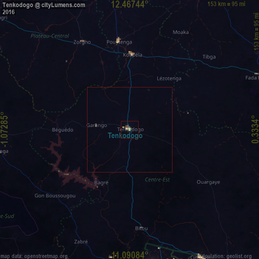
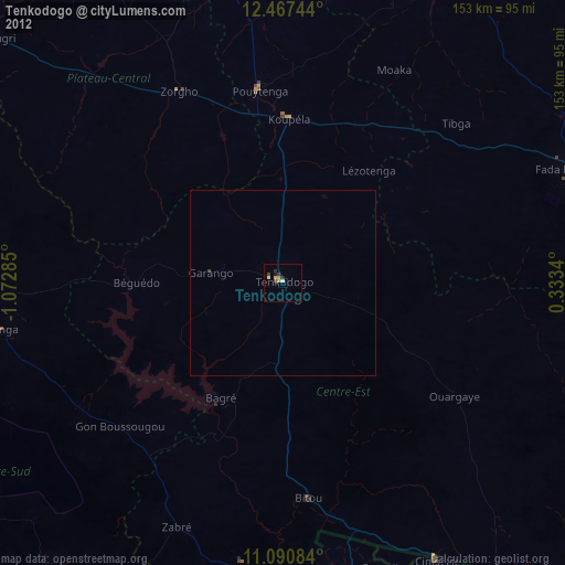
Analysis of Tenkodogo night lights 2016
Square area 10x10 km:
 0%
0%90-99
0%80-89
2.27%70-79
1.03%60-69
0.83%50-59
0.62%40-49
2.07%30-39
2.27%20-29
0.83%10-19
0.21%0-9
89.88%Square area 50x50 km:
0%90-99
0%80-89
0.09%70-79
0.04%60-69
0.03%50-59
0.03%40-49
0.15%30-39
0.09%20-29
0.03%10-19
0.01%0-9
99.52%Clear (daylight) street map image can be seen on geolist.org.
Map coordinates:
12° 28' 2.8" North, 1° 4' 22.3" West
11° 46' 48" North, 0° 22' 11" West
11° 5' 27" North, 0° 20' 0.2" East
Some cities around Tenkodogo sort by population:
• Bawku, GH
81.1 km =50.4 mi,  170°
170°
• Fada N'gourma
85.2 km =52.9 mi,  68°
68°
• Koupéla
44.4 km =27.6 mi,  2°
2°
• Garango
19.8 km =12.3 mi,  276°
276°
• Zorgo
58.6 km =36.4 mi,  332°
332°
• Boulsa
101.1 km =62.8 mi,  347°
347°
• Manga
77.7 km =48.3 mi,  260°
260°
• Ouargaye
56 km =34.8 mi,  123°
123°
2354675 (p: 37,658)
Sources (retrieved 2019-11-25):
» Earth at Night: Flat Maps 2012, 2016