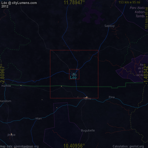
Léo night lights from space
Night Light of Léo (Centre-Ouest) from space (Burkina Faso) Src. Average luminocity for 10x10km area is 1.5779% and for 50x50km: 0.334%.
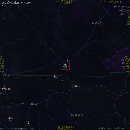
Analysis of Léo night lights 2016
Square area 10x10 km:
 0%
0%90-99
0%80-89
0.22%70-79
0.22%60-69
0.87%50-59
0%40-49
0%30-39
0.87%20-29
0%10-19
0.87%0-9
96.97%Square area 50x50 km:
0%90-99
0%80-89
0.06%70-79
0.05%60-69
0.06%50-59
0.03%40-49
0.12%30-39
0.23%20-29
0.03%10-19
0.04%0-9
99.37%Clear (daylight) street map image can be seen on geolist.org.
Map coordinates:
11° 47' 22.1" North, 2° 48' 34.8" West
11° 6' 1.2" North, 2° 6' 23.5" West
10° 24' 34.4" North, 1° 24' 12.3" West
Some cities around Léo sort by population:
• Wa, GH
123.4 km =76.7 mi,  200°
200°
• Kokologo
124.1 km =77.1 mi,  11°
11°
• Navrongo, GH
113 km =70.2 mi,  101°
101°
• Pô
105.2 km =65.4 mi,  85°
85°
• Boromo
114.9 km =71.4 mi,  308°
308°
• Diébougou
125.7 km =78.1 mi,  262°
262°
• Dano
103.9 km =64.6 mi,  272°
272°
• Goulouré
127.5 km =79.2 mi, 8°
2358382 (p: 26,884)
Sources (retrieved 2019-11-25):
» Earth at Night: Flat Maps 2012, 2016