Manga night lights from space
Night Light of Manga (Centre-Sud) from space (Burkina Faso) Src. Average luminocity for 10x10km area is 1.1645% and for 50x50km: 0.0449%.
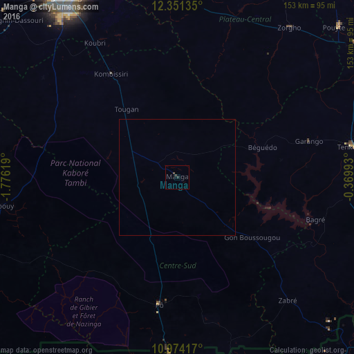
Analysis of Manga night lights 2016
Square area 10x10 km:
 0%
0%90-99
0%80-89
0%70-79
0%60-69
0%50-59
0.43%40-49
1.3%30-39
0.87%20-29
0%10-19
0%0-9
97.4%Square area 50x50 km:
0%90-99
0%80-89
0%70-79
0%60-69
0%50-59
0.02%40-49
0.05%30-39
0.03%20-29
0%10-19
0%0-9
99.9%Clear (daylight) street map image can be seen on geolist.org.
Map coordinates:
12° 21' 4.9" North, 1° 46' 34.3" West
11° 39' 49" North, 1° 4' 23" West
10° 58' 27" North, 0° 22' 11.7" West
Some cities around Manga sort by population:
• Ouagadougou
92.8 km =57.7 mi,  327°
327°
• Tenkodogo
77.7 km =48.3 mi,  80°
80°
• Koupéla
97.2 km =60.4 mi,  53°
53°
• Kombissiri
53.4 km =33.2 mi, 327°
• Garango
58.9 km =36.6 mi, 75°
• Navrongo, GH
85.4 km =53.1 mi,  181°
181°
• Zorgo
82 km =51 mi,  37°
37°
• Pô
55.5 km =34.5 mi,  188°
188°
2358100 (p: 15,173)
Sources (retrieved 2019-11-25):
» Earth at Night: Flat Maps 2012, 2016