Sokodé night lights from space
Night Light of Sokodé (Centrale) from space (Togo) Src. Average luminocity for 10x10km area is 11.6861% and for 50x50km: 0.515%.
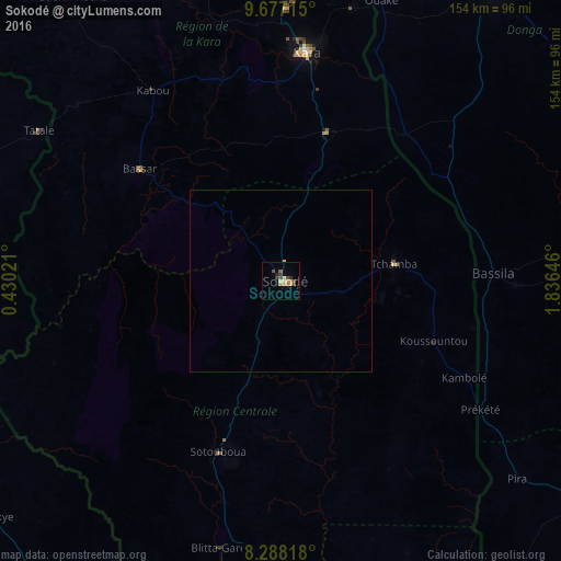
Analysis of Sokodé night lights 2016
Square area 10x10 km:
 0%
0%90-99
0.65%80-89
1.95%70-79
3.25%60-69
2.16%50-59
1.3%40-49
3.25%30-39
2.6%20-29
1.3%10-19
0.22%0-9
83.33%Square area 50x50 km:
0%90-99
0.03%80-89
0.11%70-79
0.13%60-69
0.08%50-59
0.05%40-49
0.13%30-39
0.1%20-29
0.05%10-19
0.01%0-9
99.31%Clear (daylight) street map image can be seen on geolist.org.
Map coordinates:
9° 40' 37.7" North, 0° 25' 48.8" East
8° 58' 60" North, 1° 7' 60" East
8° 17' 17.4" North, 1° 50' 11.3" East
Some cities around Sokodé sort by population:
• Kara
63.4 km =39.4 mi,  5°
5°
• Bassar
48.7 km =30.3 mi,  307°
307°
• Tchamba
31.6 km =19.6 mi,  79°
79°
• Bassila, BJ
58.5 km =36.4 mi,  87°
87°
• Niamtougou
87.3 km =54.2 mi,  357°
357°
• Bafilo
43.3 km =26.9 mi,  19°
19°
• Sotouboua
49.5 km =30.8 mi,  199°
199°
• Pagouda
88.1 km =54.7 mi, 14°
2364104 (p: 117,811)
Sources (retrieved 2019-11-25):
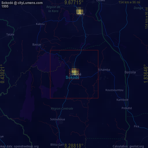
» NASA, Earths city lights 1995
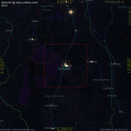
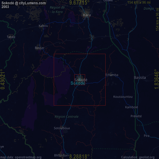
» NASA city lights 2003
» Earth at Night: Flat Maps 2012, 2016