Badou night lights from space
Night Light of Badou (Plateaux) from space (Togo) Src. Average luminocity for 10x10km area is 0.8074% and for 50x50km: 0.5547%.
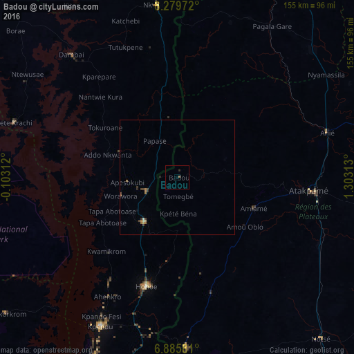
Analysis of Badou night lights 2016
Square area 10x10 km:
 0%
0%90-99
0%80-89
0%70-79
0%60-69
0.87%50-59
0%40-49
0%30-39
0%20-29
0.87%10-19
0%0-9
98.27%Square area 50x50 km:
0%90-99
0.04%80-89
0.06%70-79
0.06%60-69
0.27%50-59
0.01%40-49
0.18%30-39
0.15%20-29
0.11%10-19
0.08%0-9
99.05%Clear (daylight) street map image can be seen on geolist.org.
Map coordinates:
8° 16' 47" North, 0° 6' 11.2" West
7° 34' 60" North, 0° 36' 0" East
6° 53' 8.9" North, 1° 18' 11.3" East
Some cities around Badou sort by population:
• Atakpamé
59 km =36.7 mi,  95°
95°
• Kpalimé
76.1 km =47.3 mi,  177°
177°
• Ho, GH
110.2 km =68.5 mi,  187°
187°
• Hohoe, GH
50 km =31.1 mi,  196°
196°
• Kpandu, GH
73.6 km =45.7 mi,  207°
207°
• Notsé
94.2 km =58.5 mi,  138°
138°
• Kete Krachi, GH
75.3 km =46.8 mi,  288°
288°
• Amlamé
35.5 km =22.1 mi,  111°
111°
2367660 (p: 24,000)
Sources (retrieved 2019-11-25):
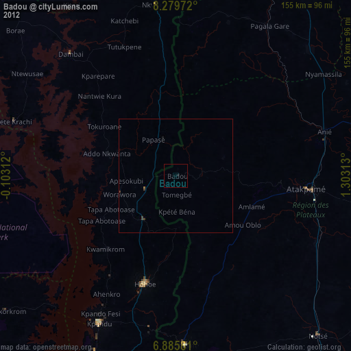
» Earth at Night: Flat Maps 2012, 2016