Sotouboua night lights from space
Night Light of Sotouboua (Centrale) from space (Togo) Src. Average luminocity for 10x10km area is 1.6364% and for 50x50km: 0.0667%.
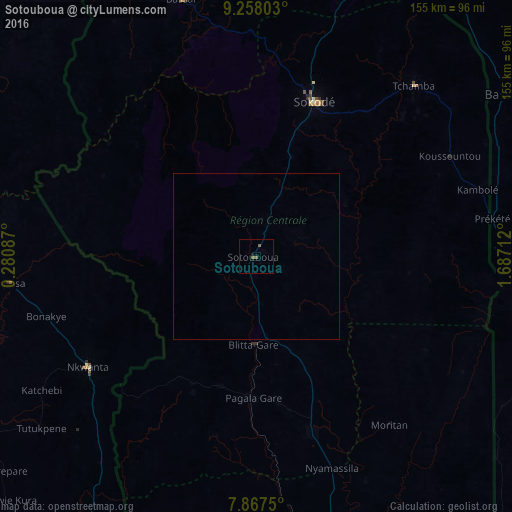
Analysis of Sotouboua night lights 2016
Square area 10x10 km:
 0%
0%90-99
0%80-89
0%70-79
0%60-69
0.62%50-59
1.03%40-49
0.83%30-39
0%20-29
0.62%10-19
0.21%0-9
96.69%Square area 50x50 km:
0%90-99
0%80-89
0%70-79
0%60-69
0.03%50-59
0.04%40-49
0.03%30-39
0%20-29
0.03%10-19
0.01%0-9
99.87%Clear (daylight) street map image can be seen on geolist.org.
Map coordinates:
9° 15' 28.9" North, 0° 16' 51.1" East
8° 33' 48.2" North, 0° 59' 2.4" East
7° 52' 3" North, 1° 41' 13.6" East
Some cities around Sotouboua sort by population:
• Sokodé
49.5 km =30.8 mi,  19°
19°
• Kara
112 km =69.6 mi,  11°
11°
• Atakpamé
115.7 km =71.9 mi,  171°
171°
• Bassar
79.5 km =49.4 mi,  343°
343°
• Tchamba
70.6 km =43.9 mi,  42°
42°
• Bassila, BJ
89.7 km =55.7 mi,  56°
56°
• Bafilo
92.8 km =57.7 mi, 19°
• Kpandae, GH
109.9 km =68.3 mi,  264°
264°
2364079 (p: 21,054)
Sources (retrieved 2019-11-25):
» Earth at Night: Flat Maps 2012, 2016