Akwatia night lights from space
Night Light of Akwatia (Eastern) from space (Ghana) Src. Average luminocity for 10x10km area is 11.2293% and for 50x50km: 3.1496%.
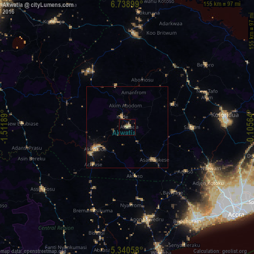
Analysis of Akwatia night lights 2016
Square area 10x10 km:
 0%
0%90-99
0%80-89
3.1%70-79
3.1%60-69
1.03%50-59
0.62%40-49
0.83%30-39
4.55%20-29
2.48%10-19
0.41%0-9
83.88%Square area 50x50 km:
0.03%90-99
0.04%80-89
0.69%70-79
0.55%60-69
0.62%50-59
0.33%40-49
0.56%30-39
0.85%20-29
0.81%10-19
1.63%0-9
93.9%Clear (daylight) street map image can be seen on geolist.org.
Map coordinates:
6° 44' 20.4" North, 1° 30' 42.8" West
6° 2' 24.9" North, 0° 48' 31.5" West
5° 20' 26.1" North, 0° 6' 20.3" West
Some cities around Akwatia sort by population:
• Koforidua
61.1 km =38 mi,  84°
84°
• Akim Oda
23.3 km =14.5 mi,  237°
237°
• Swedru
57.2 km =35.5 mi,  167°
167°
• Suhum
39.7 km =24.7 mi,  89°
89°
• Nsawam
56.9 km =35.4 mi,  116°
116°
• Asamankese
25.7 km =16 mi,  141°
141°
• Akim Swedru
28.1 km =17.5 mi,  234°
234°
• Kibi
31.4 km =19.5 mi,  63°
63°
2304931 (p: 23,766)
Sources (retrieved 2019-11-25):
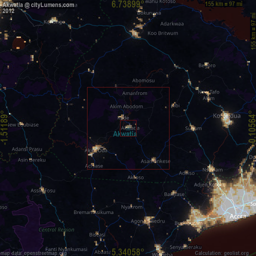
» Earth at Night: Flat Maps 2012, 2016